Vintage Prints/Maps/Views[1926-1999]
Showing 37–45 of 47 resultsSorted by latest
-
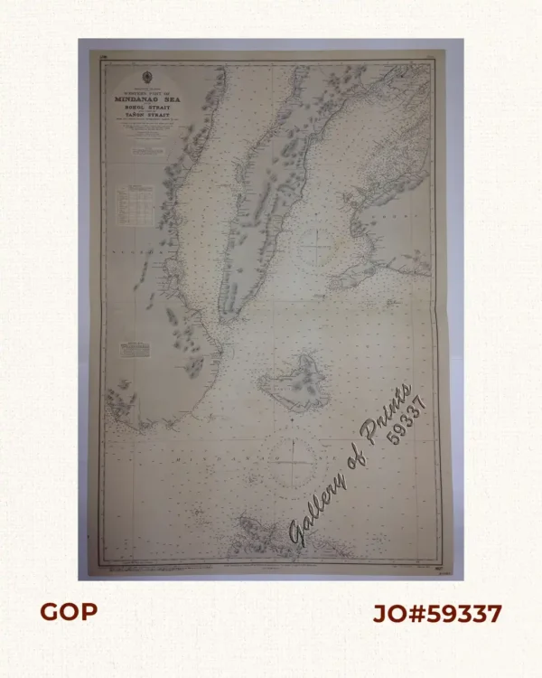
Philippine Islands. Western Part of Mindanao Sea with Bohol Strait and Part of T...
₱11,000.00 -
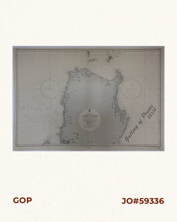
Philippine Islands. Luzon Island. North of Latitude 16° 20′ North. From ...
₱11,000.00 -
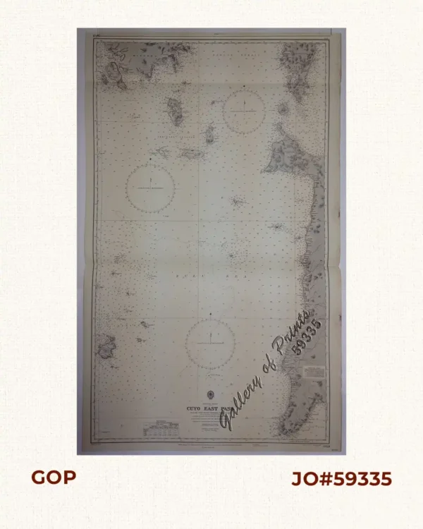
Philippine Islands. Cuyo East Pass. From the United States Government Charts of ...
₱11,000.00 -
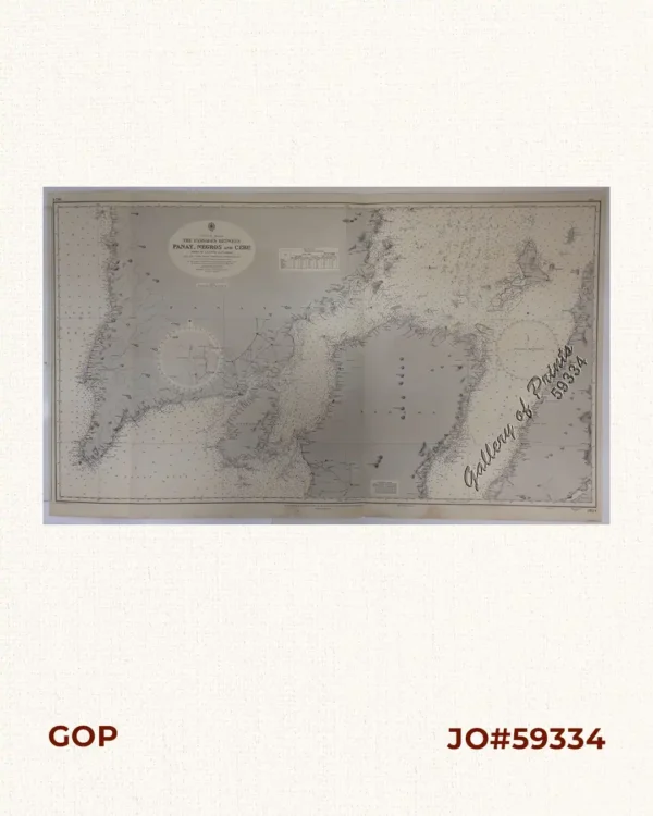
Philippine Islands. The Passages Between Panay. Negros and Cebu. North of Latit...
₱11,000.00 -
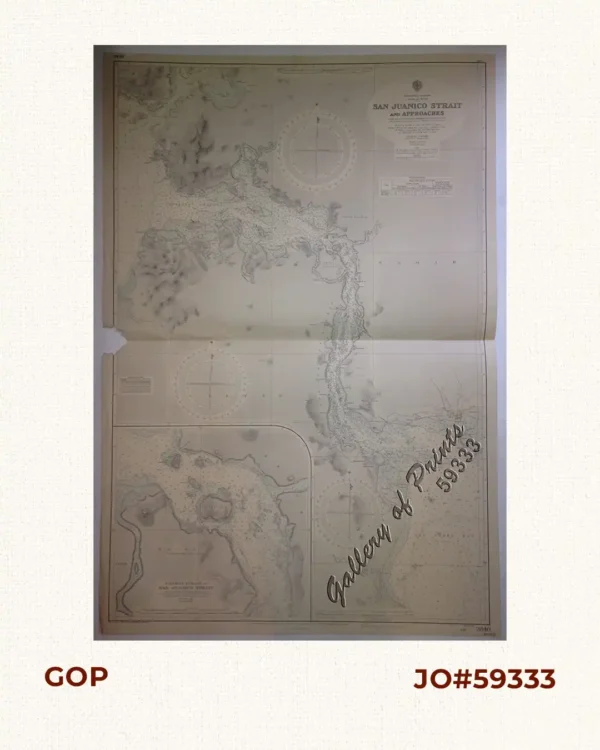
Philippine Islands. Samar and Leyte. San Juanico Strait and Approaches. From the...
₱11,000.00 -
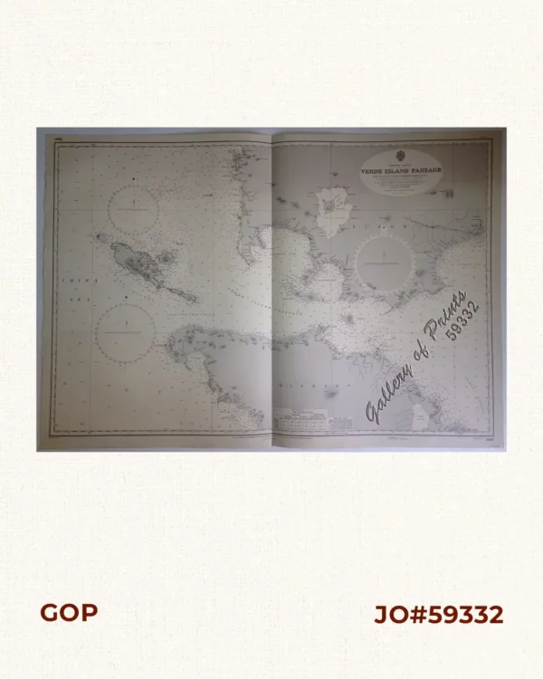
Philippine Islands. Verde Island Passage. From the United States Government Char...
₱11,000.00 -
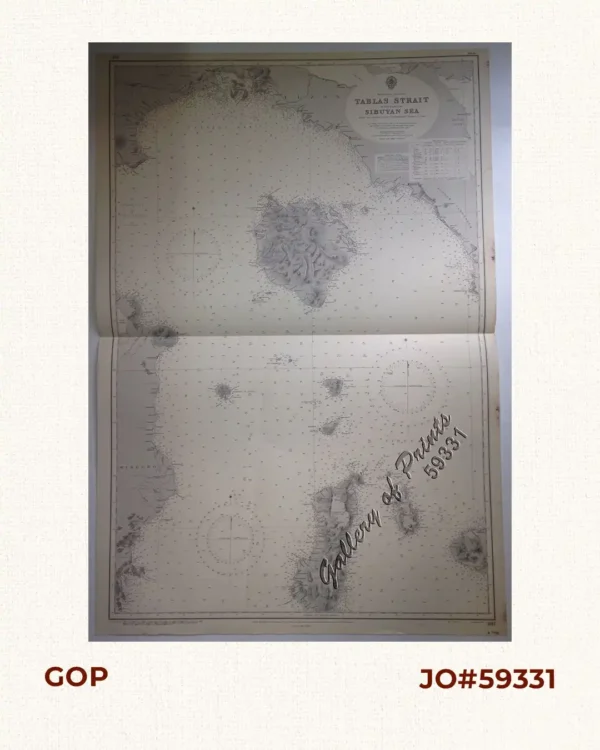
Philippine Islands. Tablas Strait with Part of Sibuyan Sea. From the United Stat...
₱11,000.00 -
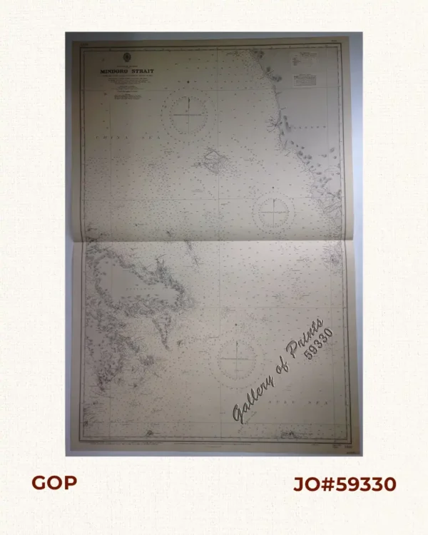
Philippine Islands. Mindoro Strait. From the United States Government Charts of ...
₱11,000.00 -
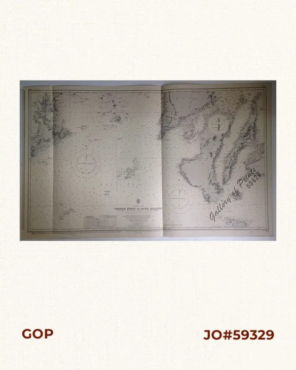
Philippine Islands. Tagolo Point to Cuyo Islands. Including Sebu Negros and Par...
₱11,000.00