Vintage Prints/Maps/Views[1926-1999]
Showing 10–18 of 47 resultsSorted by latest
-
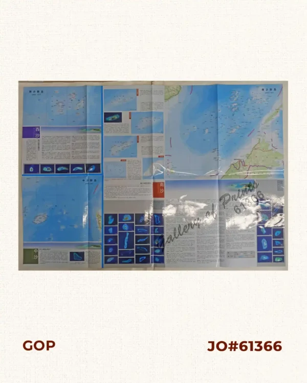
F7320, Map of Sansha City (South China Sea Map), China Official Map 2012
-
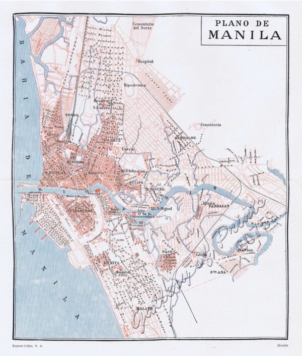
Plano de Manila
-
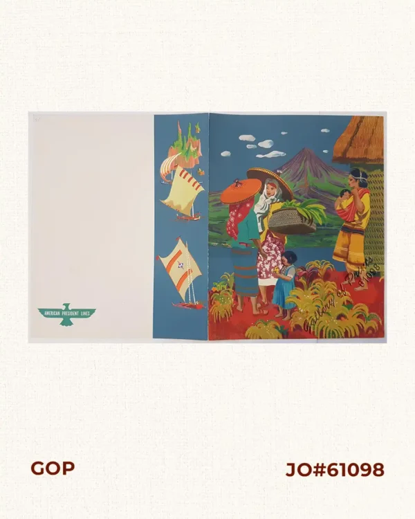
American President Lines. 1949 Dinner Menu.
₱6,600.00 -
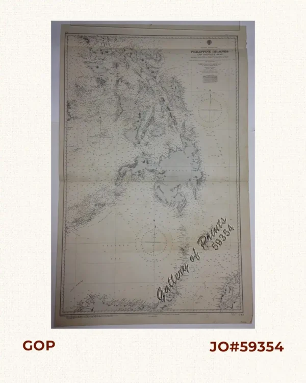
Eastern Archipelago. Philippine Islands and Adjacent Seas. From Molucca Sea to M...
₱11,000.00 -

Philippine Islands. Cuyo West Pass. From the United States Government Charts to ...
₱13,200.00 -
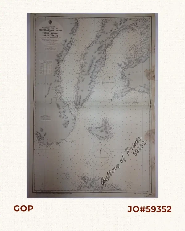
Philippine Islands. Western Part of Mindanao Sea with Bohol Strait and Part of T...
₱13,200.00 -

Philippine Islands. Luzon – West Coast. Manila Bay and Subic Bay. From the...
-
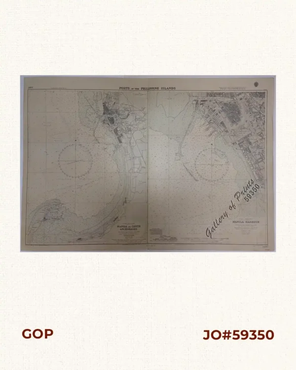
Ports in the Philippine Islands. insets: 1) Luzon I. – West Coast. Manila ...
₱13,200.00 -
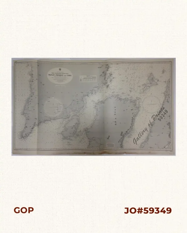
Philippine Islands. The Passages Between Panay, Negros and Cebu. North of Latitu...