Description
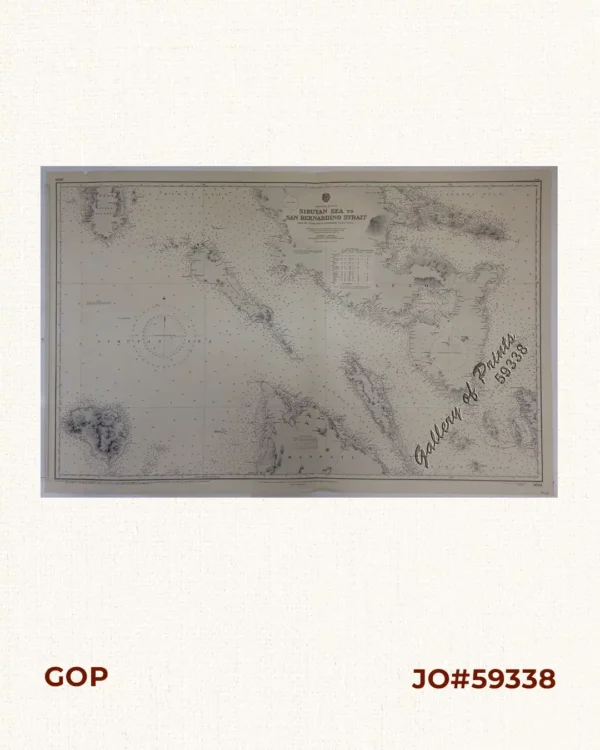
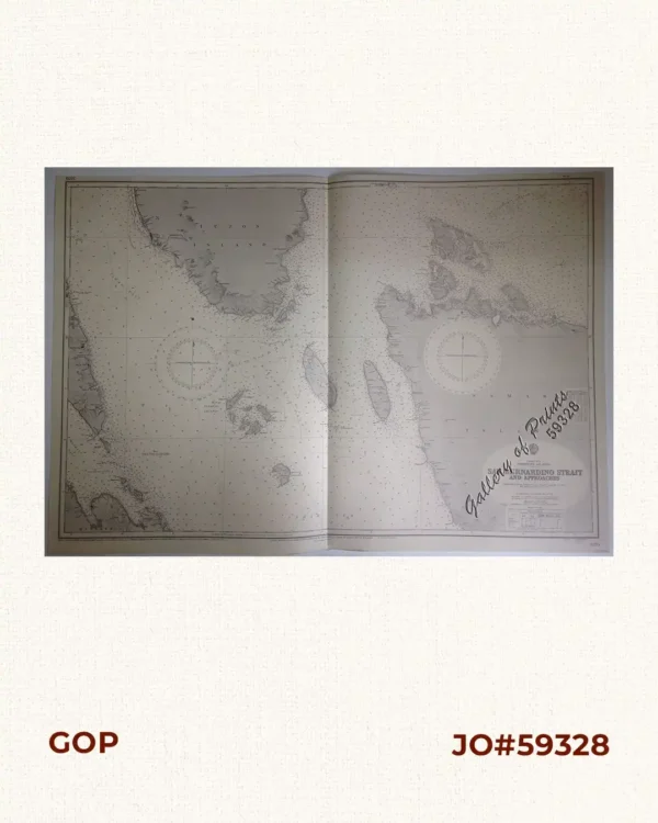
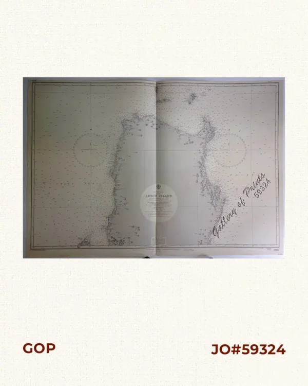
RARE LARGE ADMIRALTY lithograph. Map#3824. Small corrections 1964… – Z. 1-64. Seal of the Hydrographic Office – 2 Sea Roses with 360 degrees.
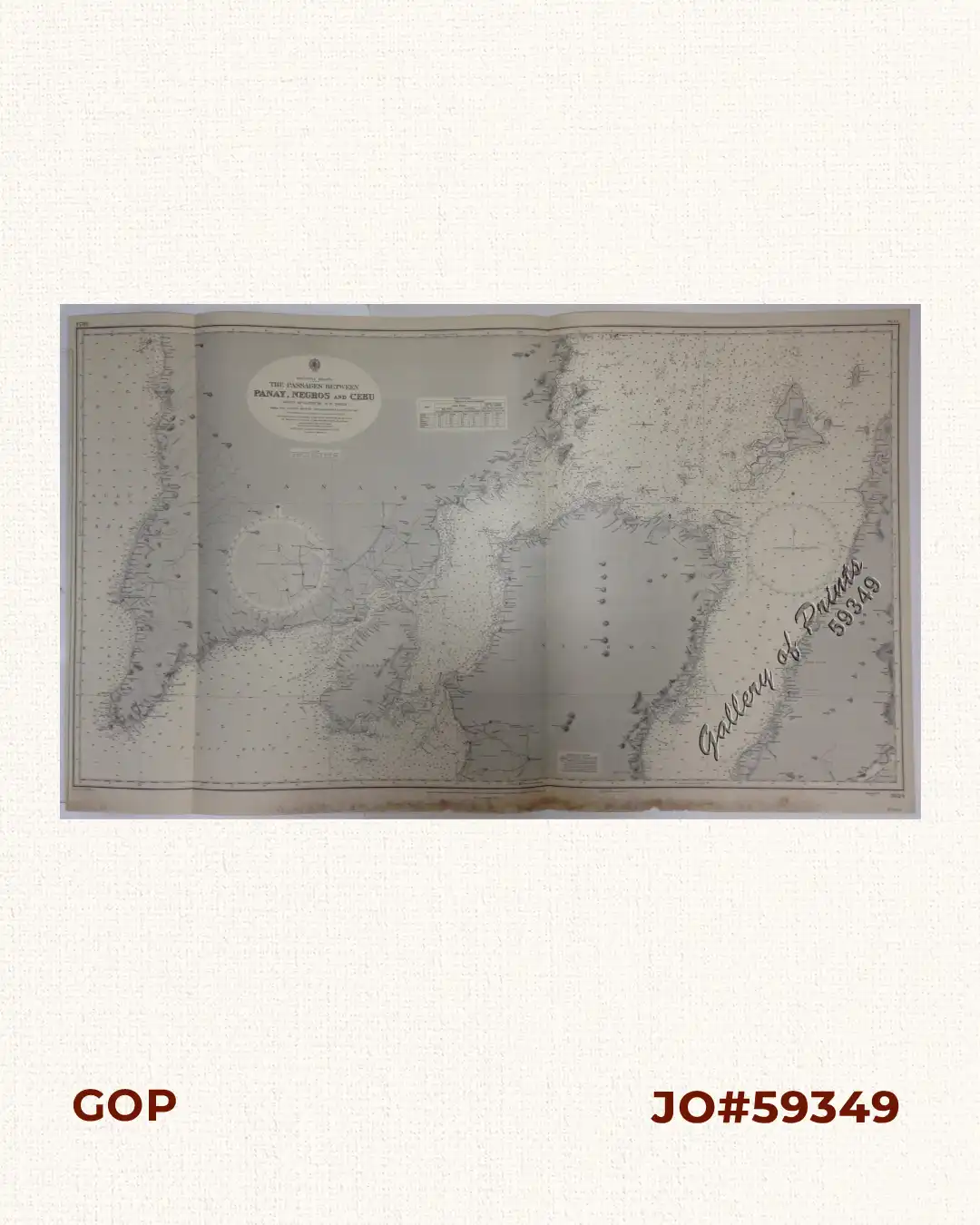
RARE LARGE ADMIRALTY lithograph. Map#3824. Small corrections 1964… – Z. 1-64. Seal of the Hydrographic Office – 2 Sea Roses with 360 degrees.
with folds as issued, with heavy foxing/watermarks along margins slightly affecting plate.