The Philippines 49
Showing all 6 resultsSorted by latest
-
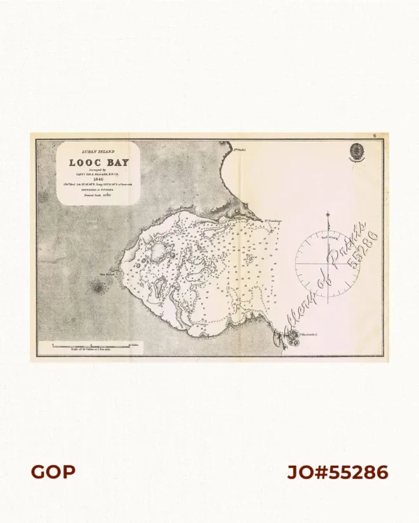
Luban Island Looc Bay
₱3,300.00 -
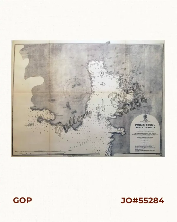
Ports Subic and Silanguin pl. 4
₱9,900.00 -
![Archipiélago Filipino. Plano del Puerto de Cavite con sus ensenadas de Cañacao y Bacoor y parte de la bahia de Manila hasta Parañaque, levantado en 1872 por la comision hidrográfica de Filipinas al mando del teniente de Navio de 1a. clase. [inset:] Arsenal de Cavite](https://galleryofprints.shop/wp-content/uploads/2019/06/jo55283-Villavicencio-1898-Plano-del-Puerto-de-Cavite-scaled-1-600x750.webp)
Archipiélago Filipino. Plano del Puerto de Cavite con sus ensenadas de Cañacao...
-
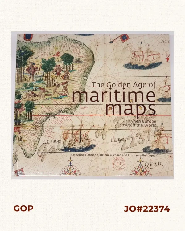
The Golden Age of Maritime Maps When Europe Discovered the World
-
![Der ferne Osten [The Far East]. Ein Reisehandbuch mit zahlreichen Abbildungen nach photographischen Aufnahmen und Zeichnungen des Verfassers sowie zehn Karten und Plänen. [A Travel Guide With Numerous Illustrations After Photographs and Drawings by the Author as well as Ten Maps and Plans.]](https://galleryofprints.shop/wp-content/uploads/2019/06/JO12667-Plate-1907-Der-ferne-Osten-front-scaled-1-600x750.webp)
Der ferne Osten [The Far East]. Ein Reisehandbuch mit zahlreichen Abbildungen na...
₱11,000.00 -
![Östlich des Horizonts [East of the Horizon] Deutsche Philippinenforschung im 19. Jahrhundert. [Band 7][German 19th Century Research on the Philippines]](https://galleryofprints.shop/wp-content/uploads/2019/06/jo22362-Rohde-Enslin-1992-Ostlich-des-Horizonts-600x750.webp)
Östlich des Horizonts [East of the Horizon] Deutsche Philippinenforschung im 19...