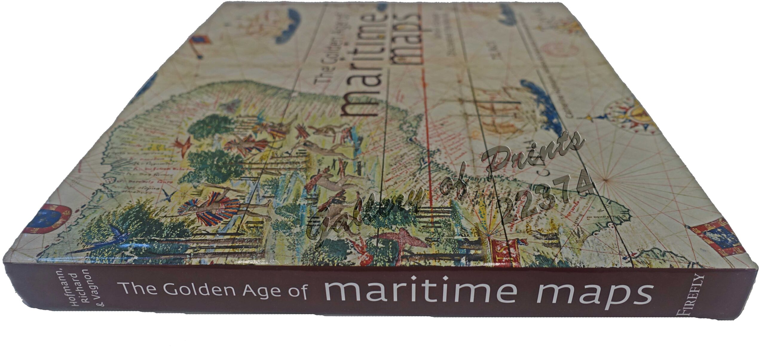
Description
256 pp., plastic-laminated hardcover, 300 full color illustrations, bibliography, glossary, list of exhibit pieces, index.
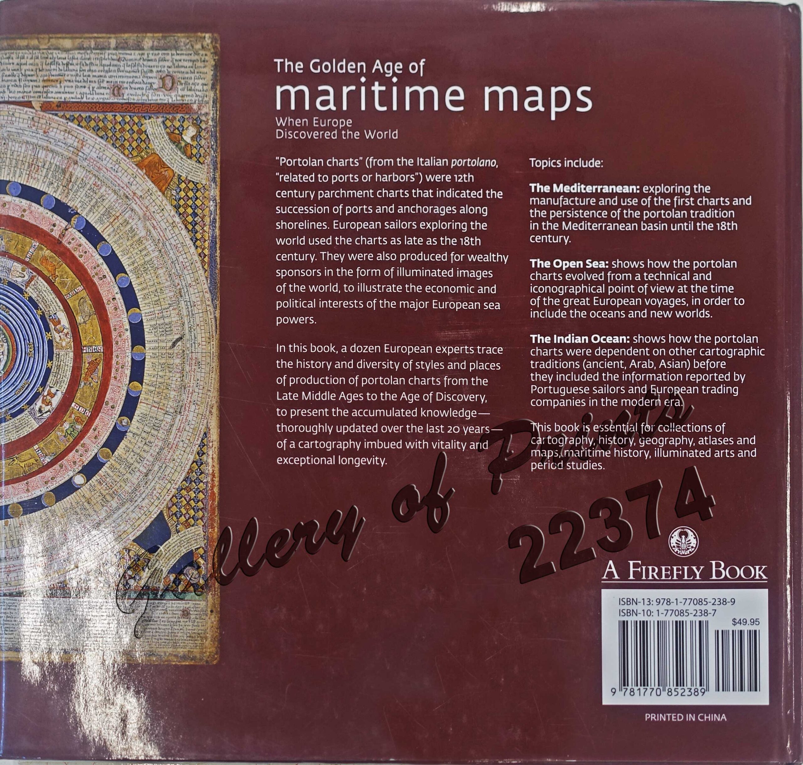
ISBN-13: 978-1-77085-238-9
ISBN-10: 1-77085-238-7
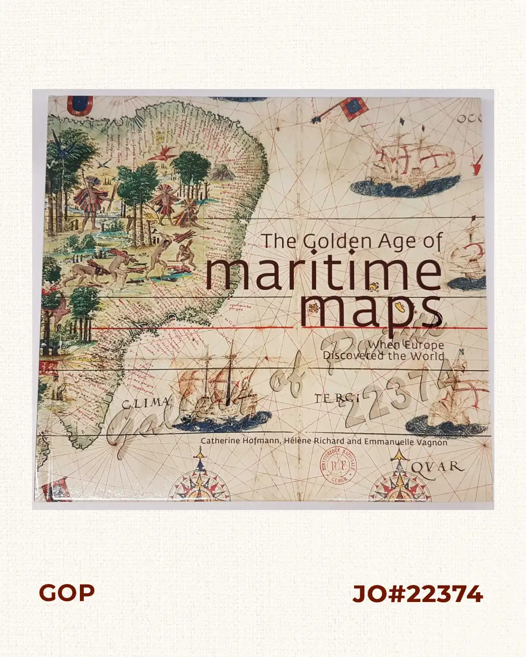
“Portolan charts” (from the Italian portolano, related to ports or harbors”) were 12th century parchment charts that indicated the succession of ports and anchorages along shorelines.
European sailors exploring the world used the charts as late as the 18th century. They were also produced for wealthy sponsors in the form of illuminated images of the world, to illustrate the economic and political interests of the major European sea powers. Includes an article by Hans Kok, Chairman of IMCOS, the International Map Collector Society and Speaker during the Manila IMCOS Symposium 2018, on “Cartography of the Dutch East India Company’s Far East Routes”.