Antique Prints of the Philippines
Showing 919–927 of 1489 results
-
![Map of Pacific Ocean by Robinson H. E. C. Pty. Ltd. Mercators Projection insets: 1) Kiska. 2) Attu. 3) Sonsorol Is. 4) Palau Is. 5) Ngulu Is. 6) Yap Is. 7) Ulithi Is. 8) Sorol Is. 9) Eauripik Is. 10) Woleai Is. 11) Ifalik Is. 12) Faraulep Is. 13) Elato & Lamotrek Is. 14) Namonuito Is. 15) Pulap Is. 16) Puluwat Is. 17) Truk Is. 18) Ujelang Atoll. 19) Eniwetok Atoll. 20) Bikini Atoll. 21) Rongelap Atoll. 22) Kwajalein Atoll. 23) Jaluit Atoll. 24) Makin. 25) Paramushiro. 26) Chichi Is. 27) Marcus. 28) Hall Is. 29) Losap Is. 30) Namoluk Is. 31) Nomoi Is. 32) Oroluk Lagoon. 33) Ngatik Is. 34) Pakin Is. 35) Ant Is. 36) Senyavin Is. 37) Mokil Is. 38) Pingelap Is. 39) Kusaie Id. 40) Wotje Atoll. 41) Maloelap Atoll. 42) Arno Atoll. 43) Mili Atoll. 44) Ebon Atoll. 45) Tarawa. 46) Japan. 47) Saipan. 48) Hawaiian Islands. 49) Midway Id. 50) [Bataan / Manila Bay]. 51) Philippine Islands. 52) Wake. 53) Guam. 54) Canton Id. 55) Fiji.](https://galleryofprints.shop/wp-content/uploads/2025/06/JO64819-HEC-Robinson-c1940-Map-of-Pacific-Ocean-scaled-1-600x750.webp)
Map of Pacific Ocean by Robinson H. E. C. Pty. Ltd. Mercators Projection inse...
₱14,700.00 -
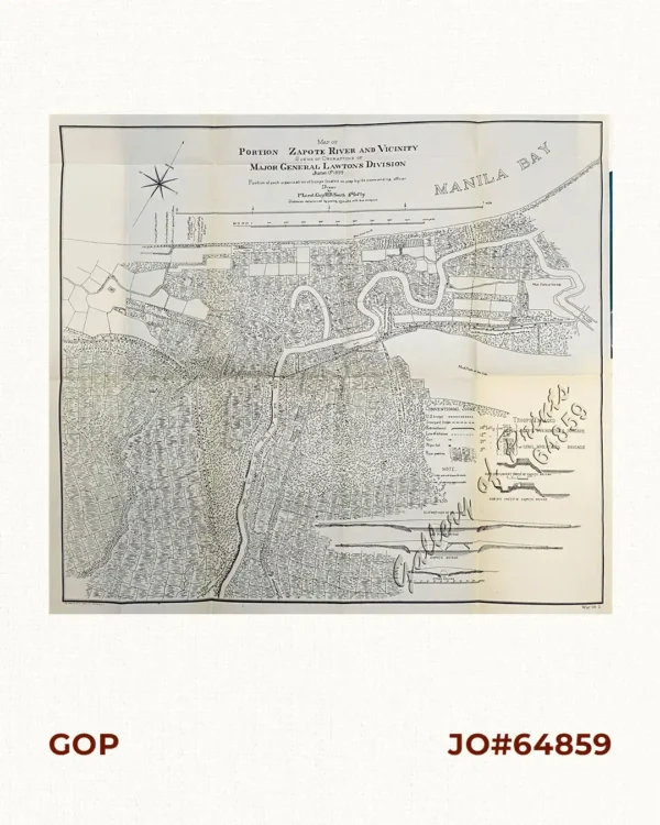
Map of Portion Zapote River and Vicinity. Scene of Operations of Major General ...
₱7,900.00 -
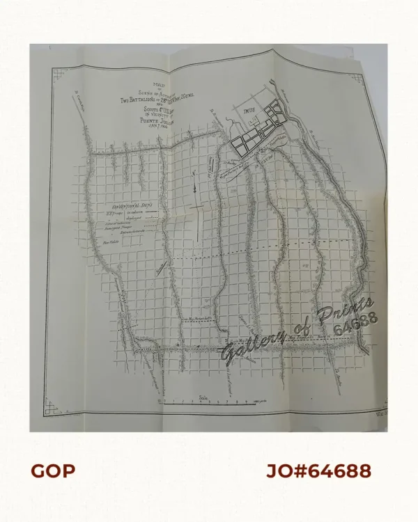
Map of Scene of Action of Two Battalions of 28th U.S.V. Inf., 2Guns, and Scouts ...
₱6,600.00 -
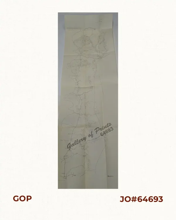
Map of scout made by Troop F 3Cavaly from Apl. 8 – May 3 1900
₱9,900.00 -
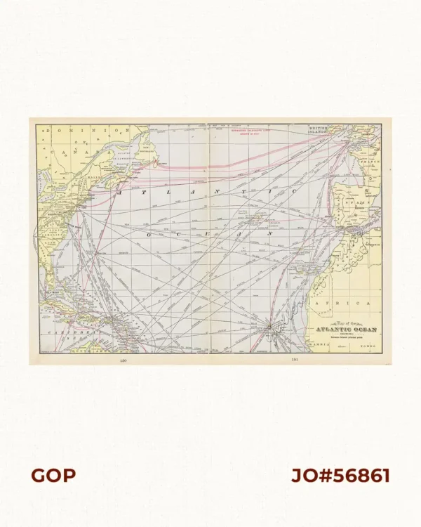
Map of the Atlantic Ocean Showing Distances between principal points.
₱3,300.00 -
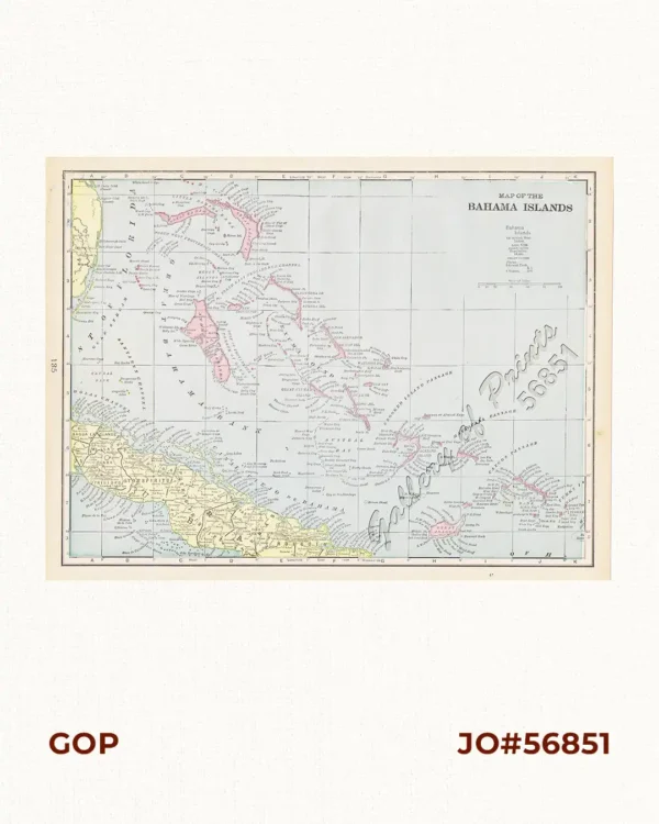
Map of the Bahama Islands
₱3,300.00 -
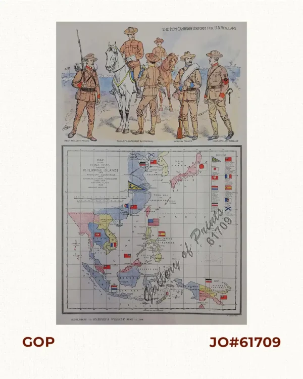
Map of the China Seas showing Philippine Islands and Adjacent Countries with Eur...
₱6,600.00 -
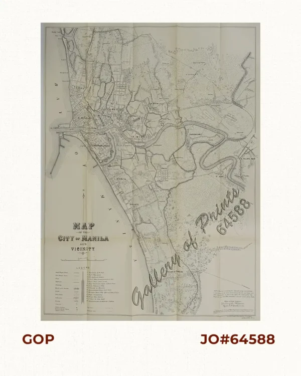
Map of the City of Manila and Vicinity
₱77,000.00 -
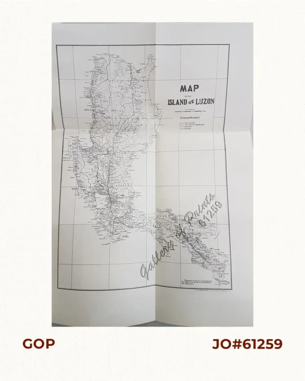
Map of the Island of Luzon
₱7,700.00