Cartography [Maps]
Showing 64–72 of 680 results
-

A Chart of the Coast of China from Cambodia to Nanquam with part of Japan.
₱155,000.00 -

A Chart of the Pacific Ocean from the Equinoctial to the Latitude of 39 1/2 d. N...
₱15,400.00 -
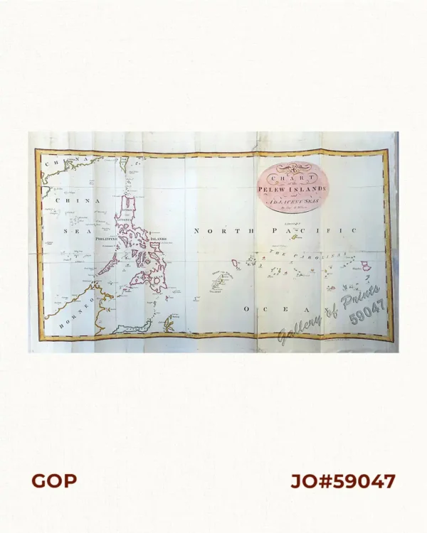
A Chart of the Pelew Islands…
₱34,100.00 -

A Map of the East India Islands, agreeable to the most approved Maps and Charts,...
₱22,000.00 -
![A Map of the East Indies from the latest Authorities and Observations By John Blair L.L.D. & F.R.S. As a Supplement to His Tables of Chronology. [inset:] The Philippine Islands.](https://galleryofprints.shop/wp-content/uploads/2016/03/JO60783-Blair-c1770-A-Map-of-the-East-indies-from-the-latest-Authorities-and-Observations-scaled-1-600x750.webp)
A Map of the East Indies from the latest Authorities and Observations By John Bl...
₱26,400.00 -
![A Mar of part of Borneo & The Sooloo [sic] Archipelago: Laid down chiefly from Observations made in 1761, 2, 3, and 4.](https://galleryofprints.shop/wp-content/uploads/2024/08/JO64584-Dalrymple-1771-A-Mar-of-part-of-Borneo-The-Sooloo-Archipelago-scaled-1-600x750.webp)
A Mar of part of Borneo & The Sooloo [sic] Archipelago: Laid down chiefly fr...
₱39,600.00 -

A New Map of the East Indies, Taken from Mr. de Fer’s Map of Asia, Shewing...
₱49,500.00 -
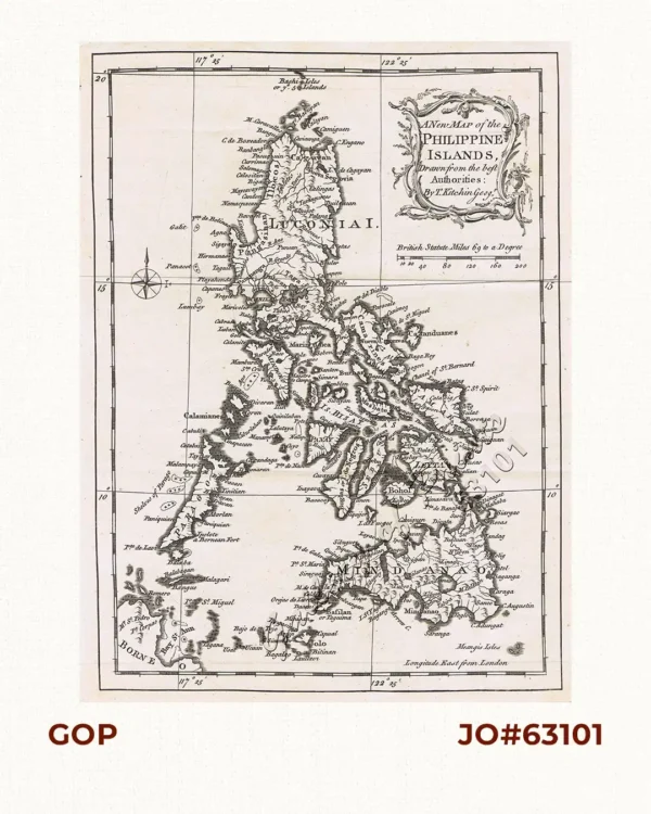
A New Map of the Philippine Islands, Drawn from the best Authorities
₱77,000.00