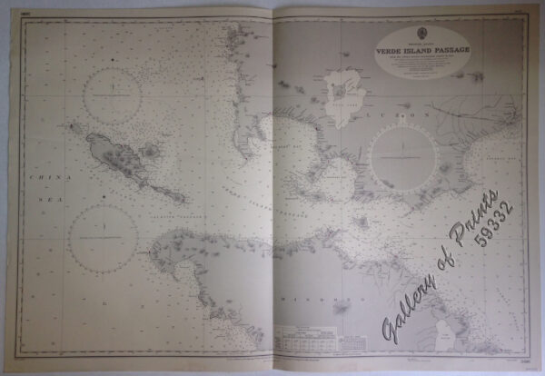
Description
lithograph. Map#3806. Large corrections 24th March 1933. Small corrections 1933[many subsequent years stated till] 1966 – Z.1965. Seal of the Hydrographic Office – Sea Roses with 360 degrees in middle left and right below the title.

₱11,000.00
1 in stock
lithograph. Map#3806. Large corrections 24th March 1933. Small corrections 1933[many subsequent years stated till] 1966 – Z.1965. Seal of the Hydrographic Office – Sea Roses with 360 degrees in middle left and right below the title.
with folds as issued.


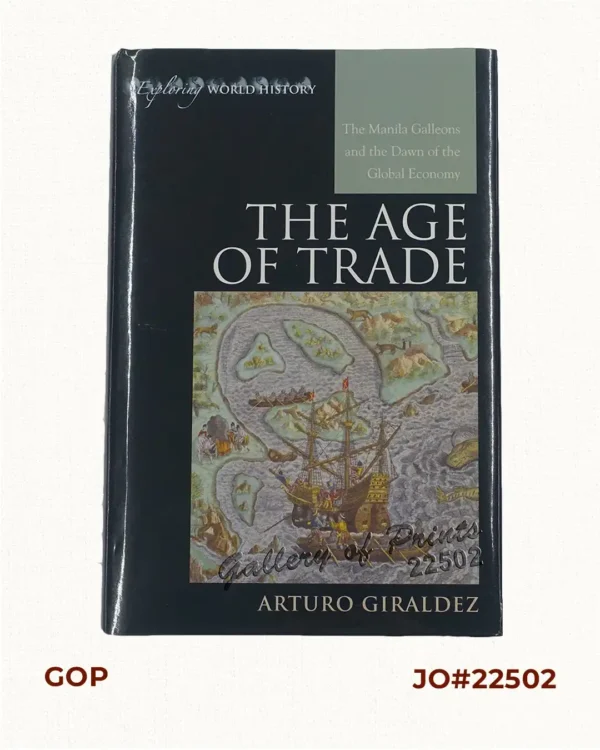 The Age of Trade The Manila Galleons and the Dawn of the Global Economy
₱6,600.00
The Age of Trade The Manila Galleons and the Dawn of the Global Economy
₱6,600.00
![Dr. A. Petermann's Mittheilungen aus Justus Perthes' Geographischer Anstalt. Herausgegeben von Dr. E. Behm. - Ergänzungsband XIV, 1880-1881 Inhalt: [Supplement Vol. 14 contents] No. 61. Rivoli, die Serra da Estrella. No. 62. Behm und Wagner, die Bevölkerung der Erde, VI. No. 63. Mohn, die Norwegische Nordmeer-Expedition. No. 64. Fischer, die Dattelpalme. No. 65. Berlepsch, die Gotthard-Bahn.](https://galleryofprints.shop/wp-content/uploads/2022/03/JO12554-Petermann-1881-Mittheilungen-aus-Justus-Perthes-Geographischer-Anstalt-volume-14-scaled-1-600x750.webp) Dr. A. Petermann's Mittheilungen aus Justus Perthes' Geographischer Anstalt. Herausgegeben von Dr. E. Behm. - Ergänzungsband XIV, 1880-1881 Inhalt: [Supplement Vol. 14 contents] No. 61. Rivoli, die Serra da Estrella. No. 62. Behm und Wagner, die Bevölkerung der Erde, VI. No. 63. Mohn, die Norwegische Nordmeer-Expedition. No. 64. Fischer, die Dattelpalme. No. 65. Berlepsch, die Gotthard-Bahn.
₱6,000.00
Dr. A. Petermann's Mittheilungen aus Justus Perthes' Geographischer Anstalt. Herausgegeben von Dr. E. Behm. - Ergänzungsband XIV, 1880-1881 Inhalt: [Supplement Vol. 14 contents] No. 61. Rivoli, die Serra da Estrella. No. 62. Behm und Wagner, die Bevölkerung der Erde, VI. No. 63. Mohn, die Norwegische Nordmeer-Expedition. No. 64. Fischer, die Dattelpalme. No. 65. Berlepsch, die Gotthard-Bahn.
₱6,000.00
![Ung habitant de lysle Capul [A native of the island of Capul] [first despiction in print of a Filipino]](https://galleryofprints.shop/wp-content/uploads/2024/05/JO64472-van-Noort-1646-A-native-of-the-Island-of-Capul-600x750.webp) Ung habitant de lysle Capul [A native of the island of Capul] [first despiction in print of a Filipino]
₱110,000.00
Ung habitant de lysle Capul [A native of the island of Capul] [first despiction in print of a Filipino]
₱110,000.00