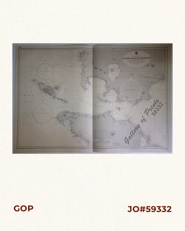
Phone: +63 2 7729 8168 | Mobile: +63 917 806 4291

Philippine Islands. Cebu and Mactan. Cebu Harbour and Approaches. From the United States Coast Survey Charts to 1925. With additions and corrections from Philippine Government Charts to 1953.

Description

lithograph. Map#3193. New editions 29th Jan. 1915, 27th Aug. 1923, 19th Nov. 1926, 5th Sept. 1947. Large corrections  27th August 1954. Small corrections 1954 [many subsequent years stated till] 1963 – Z. 3-59. Seal of the Hydrographic Office – 3 Sea Roses with 360 degrees. RARE.

Condition

with center fold as issued, with foxing, slightly affecting the plate.

SOLD
Shopping cart0
There are no products in the cart!
Continue shopping
0