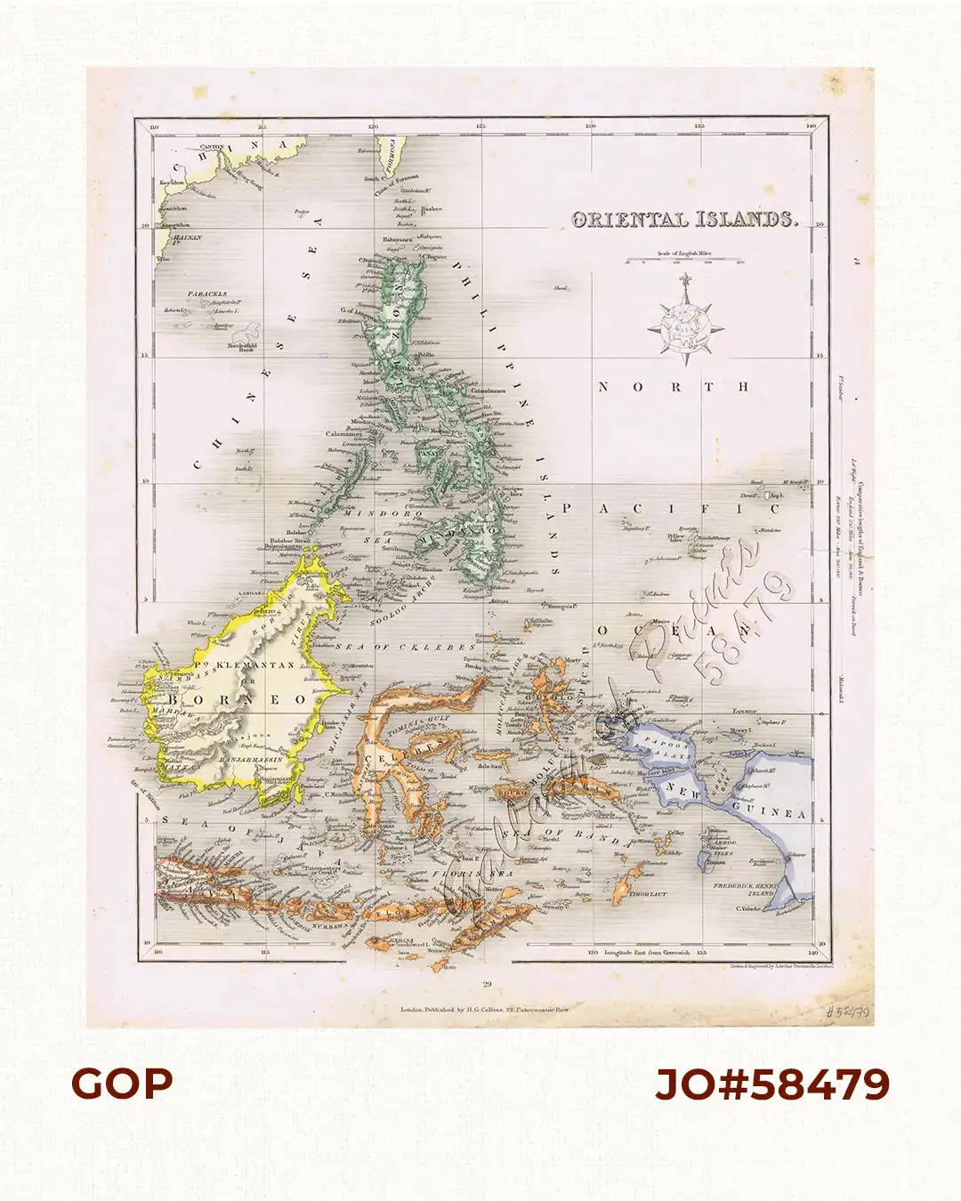
Description
Map from “Appleton’s Complete Atlas of The World…”, pl. 29.
This map is different from others with the same image: a) different colours and here in outline colours; b) page # “29” and “London. Published by H. G. Collins 22 Paternoster Row ” below neatline; c) “Drawn & Engraved by J. Archer Pentonville,London” shown right corner below bottom neatline.