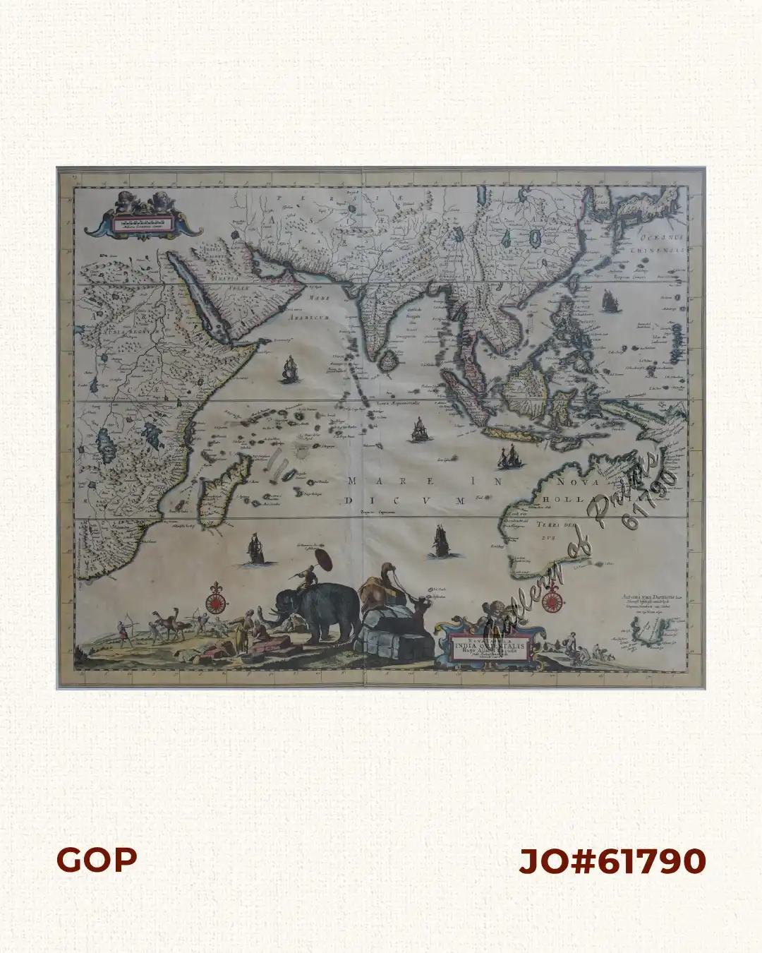
Description
hand-coloured copper engraving.
Double-page engraved map from ‘Atlas Maior’. Second issue of this extremely rare and decorative late 17th century Dutch map of the East Indies and Australia, incorporating the Discoveries of Abel Tasman’s two Voyages (1642-44). The map appeared first in Carol Allard’s ‘Atlas Maior’ in 1697. The present example is from his son Hugo’s imprint of c. 1702-5.
![Plan du Port de Subec, en I'Isle de Lucon [Plan of The Port of Subic on Luzon Island]](https://galleryofprints.shop/wp-content/uploads/2015/05/JO55439-de-Mannevillete-c1775-Plan-du-Port-de-Subec-600x750.webp)