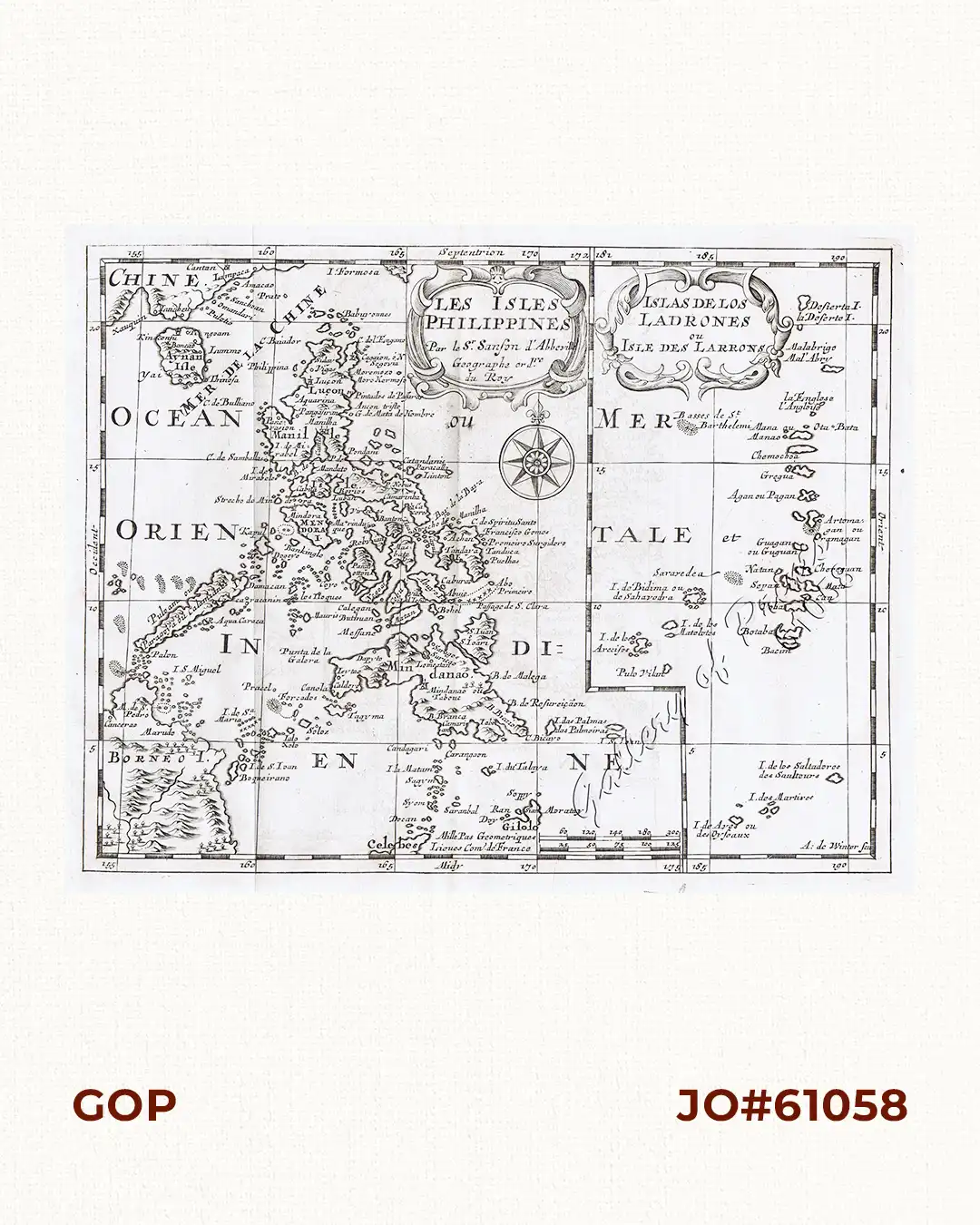
Description
copper engraving.
Map from ‘ L’Usage des Globes’; prepared by N. Sanson and engraved by A. de Winter. The atlas existed both separately by continent and as a composite atlas with 4 continents. It proved popular. and the maps were imitated by Johann Zunner in Frankfurt (1679) and by Joannes Ribbius and Francois Halma (1682-1730s).
![Isla de Luzon pl. 10, inset: Pto. de Banacalan [Marinduque] (Quezon [or Tayabas], Camarines Norte, Marinduque, Balegin [Balesin], Calbalete [Cagbalete]… )](https://galleryofprints.shop/wp-content/uploads/2023/08/JO64134-Algue-1900-Isla-de-Luzon-scaled-1-600x750.webp)