![Carte des Costes de Cochinchine Tunquin ... [Gulf of Tonkin]](https://galleryofprints.shop/wp-content/uploads/2025/04/JO488-Bellin-c1752-Carte-des-Costes-de-Conhinchine-Tunquin-scaled-1.webp)
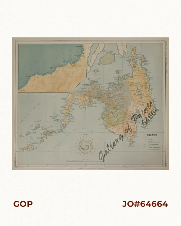
Description
hand-coloured copper engraving map from ‘L’Histoire Generale des Voyages’, vol. 2, no. 3.
Jacques-Nicolas Bellin (1703-1772) spent over 50 years at the French Hydrographic Service where he was appointed the first ‘Ingenieur hydrographe de la Marine’. He was commissioned to carry out major surveys of all the known coasts of the world. These undertakings resulted in the production of a very large number of sea charts of the highest quality which appeared in many editions with varying numbers of charts to the end of the century. He was appointed Hydrographer to the King’ & was a member of the Royal Society in London.
![Islas de Infanta y Polillo pl. 12 [Quezon Prov., Polilio Is., Pananongan I., Jomalig I.]](https://galleryofprints.shop/wp-content/uploads/2023/08/JO62585-Algue-1900-Quezon-Province-Polilo-Jomalig-Patnanongan-scaled-1-600x750.webp)