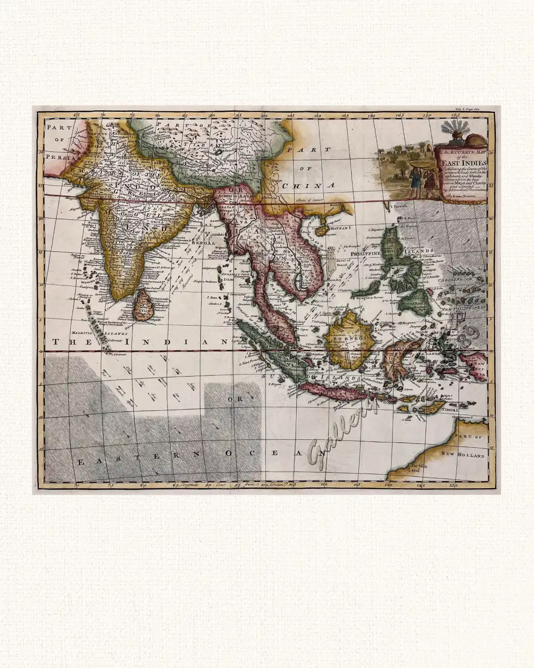
Description
hand-coloured copper engraving.
EXTREMELY RARE map from John Harris’s Navigantium atque Itinerantium Bibliotheca. Or, A Complete Collection of Voyages and Travels…, 2nd edition. A collection of all known voyages … [Navigantium atque itinerantium bibliotheca] is valuable for the original impressions of the fine series of maps by Emanuel Bowen based on the design of Herman Moll. This particular map features the various trade winds identified by arrows and etched lines.
![Islas de Infanta y Polillo pl. 12 [Quezon Prov., Polilio Is., Pananongan I., Jomalig I.]](https://galleryofprints.shop/wp-content/uploads/2023/08/JO62585-Algue-1900-Quezon-Province-Polilo-Jomalig-Patnanongan-scaled-1-600x750.webp)
![Typus freti Manilensis detroit de Manilles [Straits of Manila]](https://galleryofprints.shop/wp-content/uploads/2015/05/JO54051-Renneville-1725-Philippines-Manila-Samar-Mindoro-Luzon-scaled-1-600x750.webp)