Description
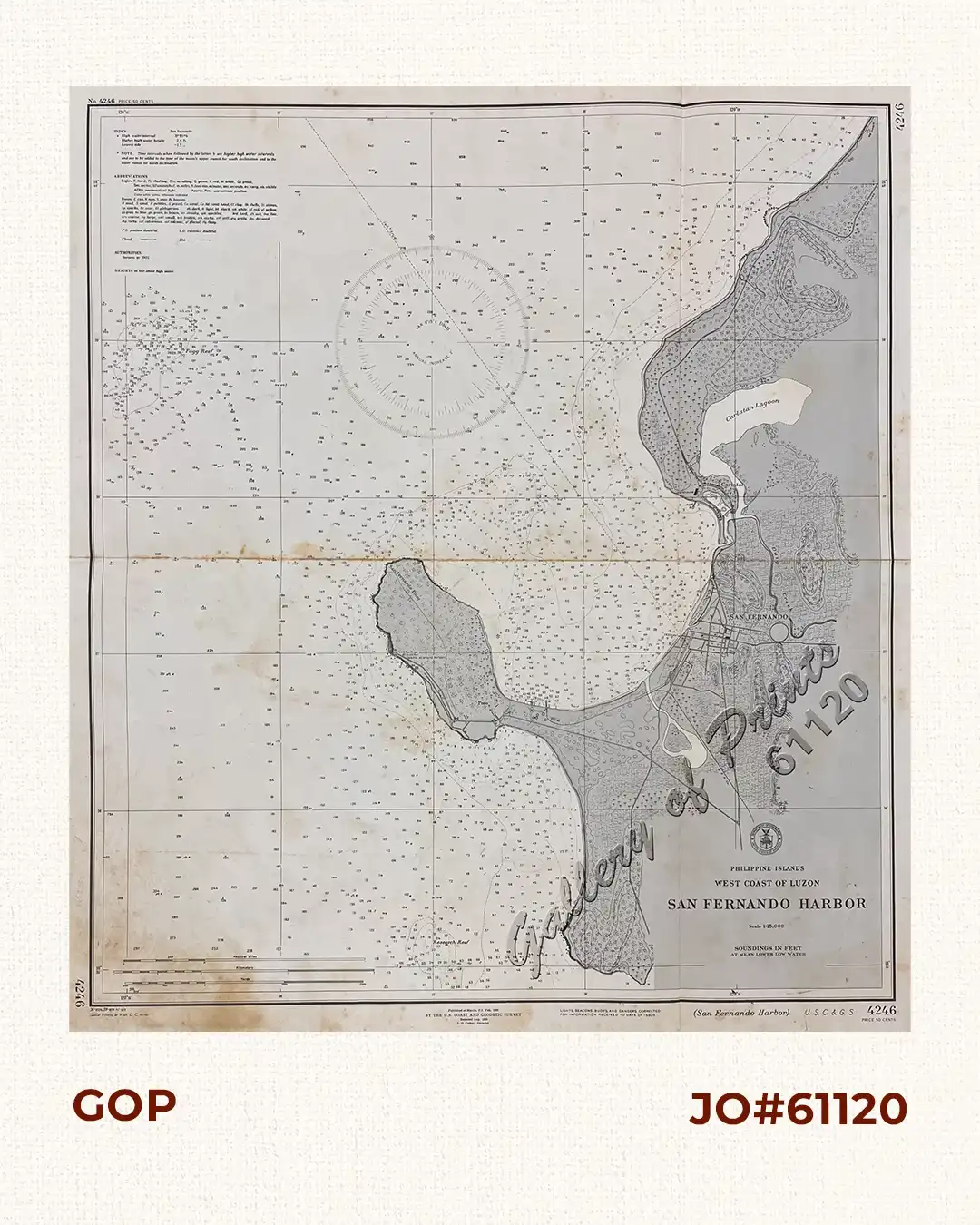
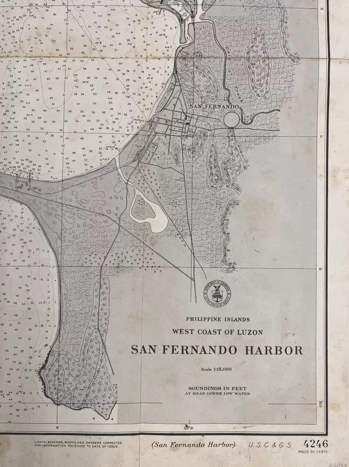
RARE collectible 1936/39 lithograph map from the cusp of World War II, map #4246, seachart published at Manila, P.I. Feb. 1936 by the U.S. Coast and Geodetic Survey, Reissued Aug. 1939, L. O. Colbert, Director.
with “36 -2/24, 39-8/19 41- 6/6, Special Printing at Wash. D. C. 42-10/1”
![Isla de Luzon pl. 10, inset: Pto. de Banacalan [Marinduque] (Quezon [or Tayabas], Camarines Norte, Marinduque, Balegin [Balesin], Calbalete [Cagbalete]… )](https://galleryofprints.shop/wp-content/uploads/2023/08/JO64134-Algue-1900-Isla-de-Luzon-scaled-1-600x750.webp)