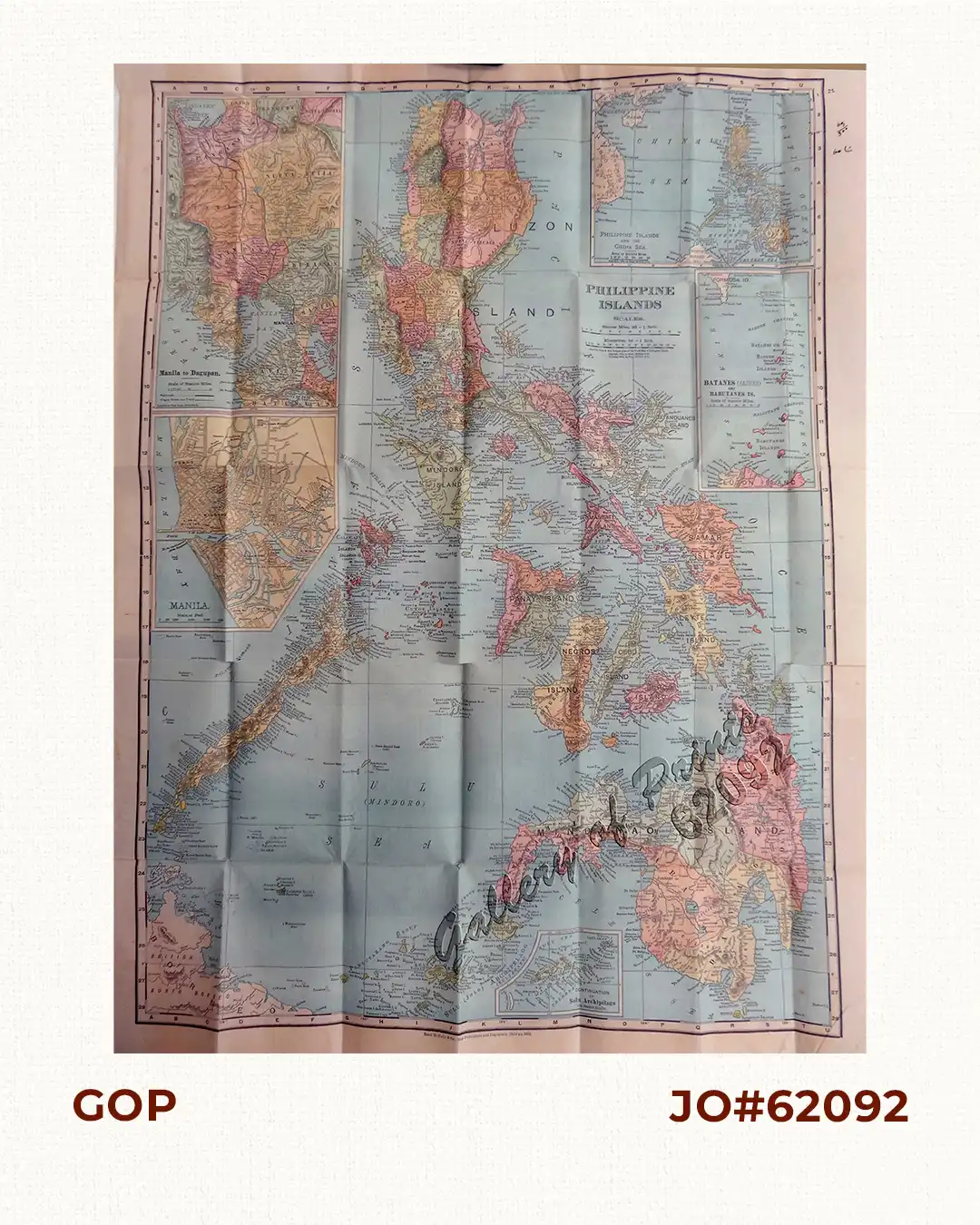

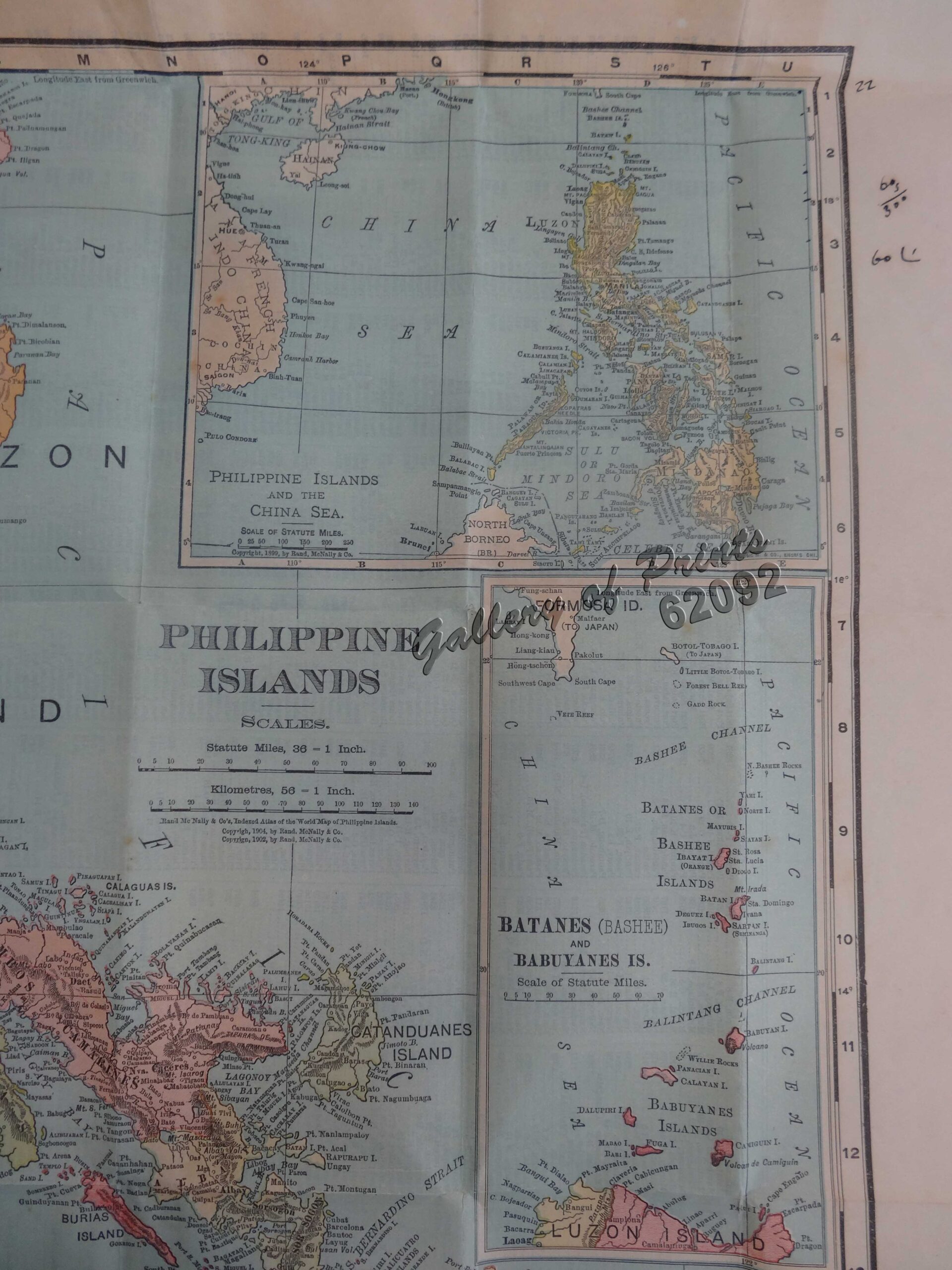
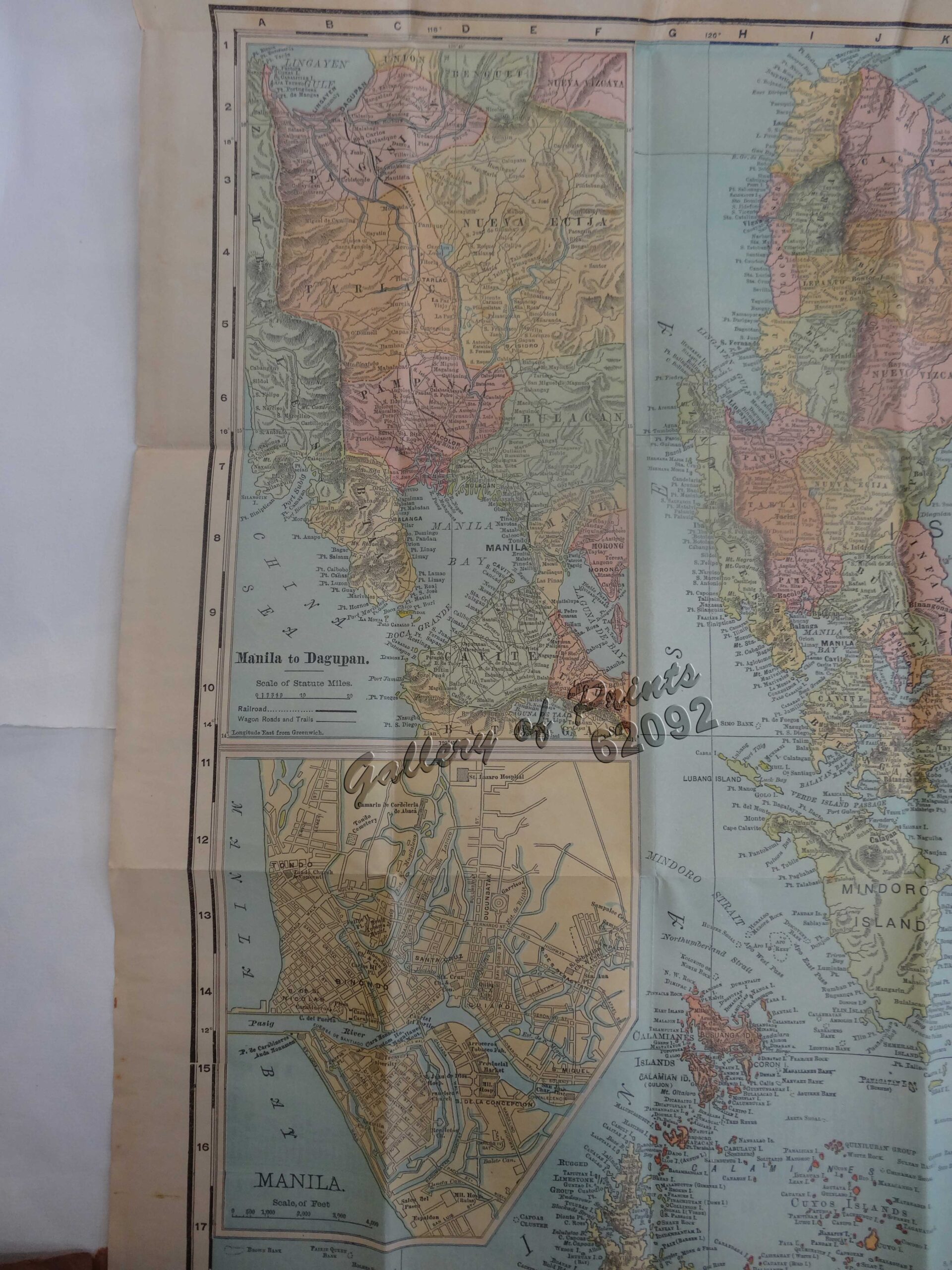


Description
original-colour lithograph.
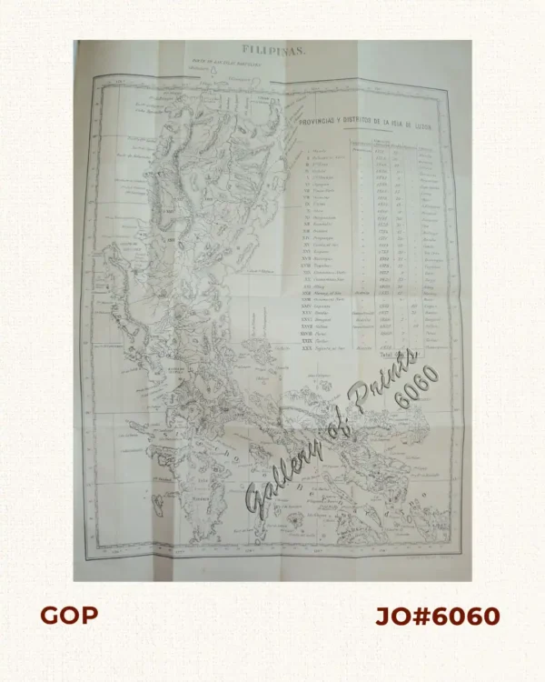
RARE pocket map from ‘Series of Indexed Pocket Maps of Foreign Countries’. The shipping routes between the main cities are printed in red dotted lines. On verso is a key to the principal cities. According to Rumsey, from the 33rd edition of this atlas, maps change from the 1890’s editions.
![Plan du Port de Subec, en I'Isle de Lucon [Plan of The Port of Subic on Luzon Island]](https://galleryofprints.shop/wp-content/uploads/2015/05/JO55439-de-Mannevillete-c1775-Plan-du-Port-de-Subec-600x750.webp)