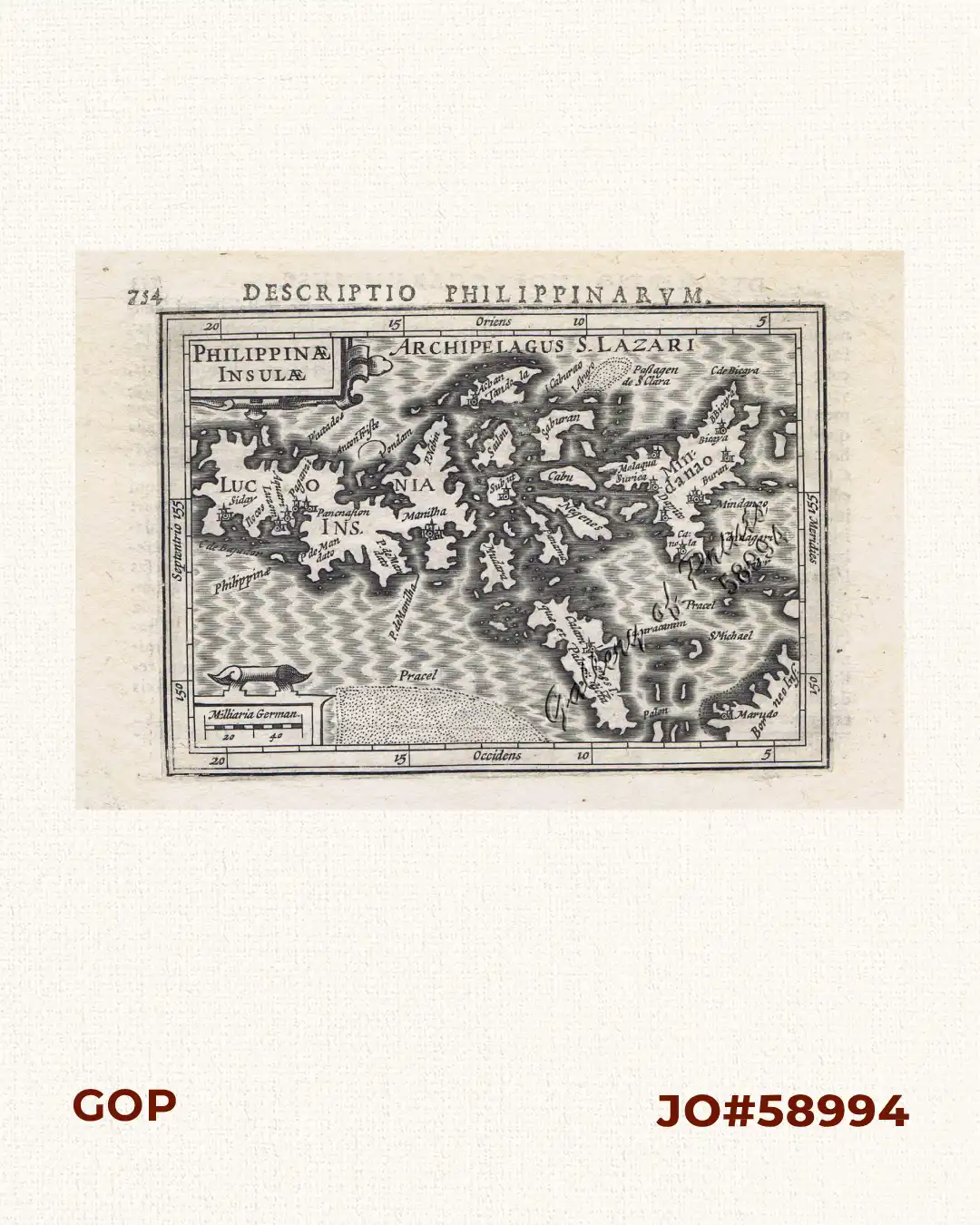
Description
copper engraving. text verso: Descriptio Moluccarum inss, EXTREMELY RARE map from ‘Tabularum Geographicum’ Chapter: ‘Description des Philippines’, pp.753-754; first Latin edition. The second version of the oldest map showing the Philippines alone. The Kaerius map was redrawn: Palawan now angled.
![Plan du Port de Subec, en I'Isle de Lucon [Plan of The Port of Subic on Luzon Island]](https://galleryofprints.shop/wp-content/uploads/2015/05/JO55439-de-Mannevillete-c1775-Plan-du-Port-de-Subec-600x750.webp)