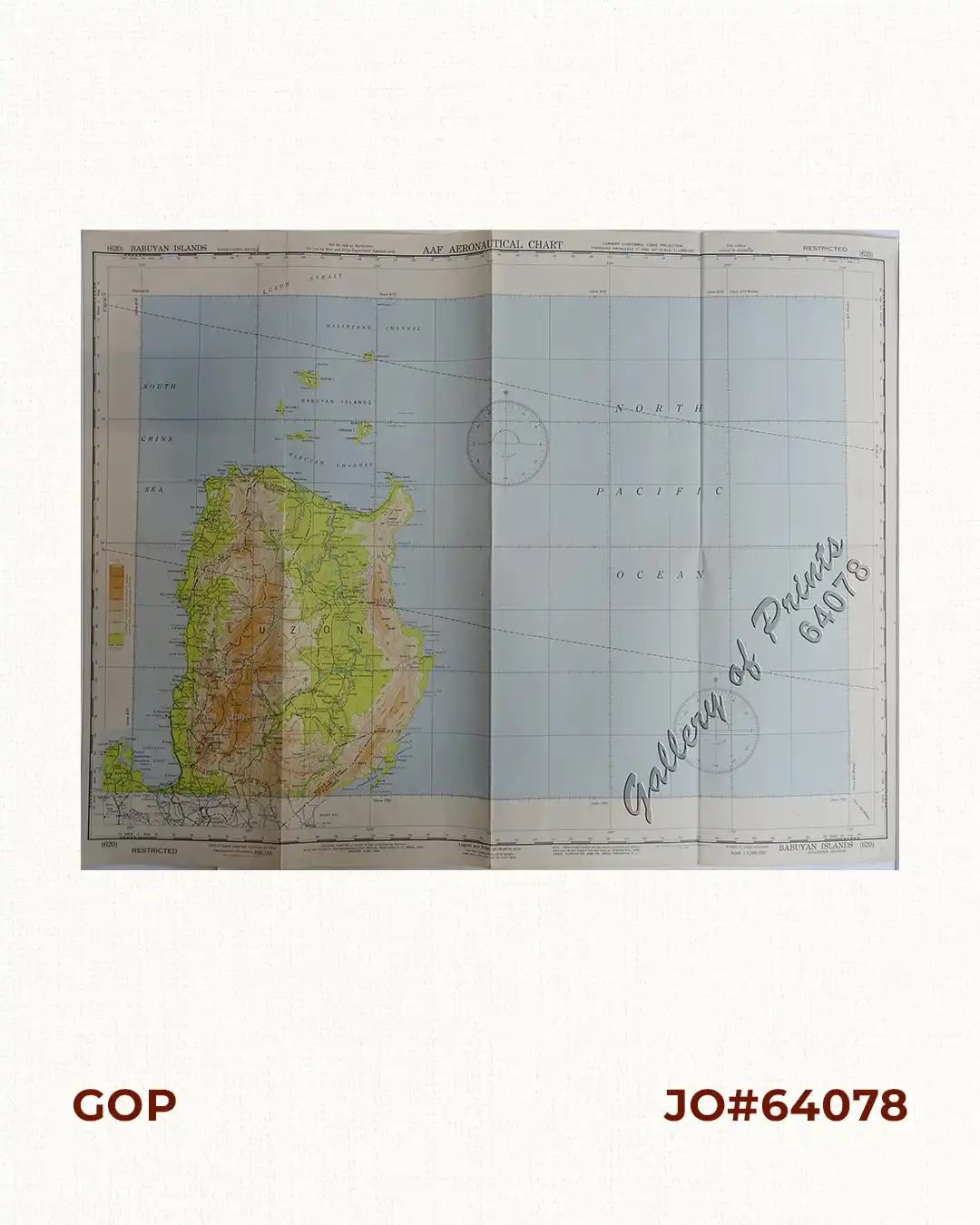
Description
original colour lithograph. EXTREMELY RARE. This WWII map depicts the northern portion of the Island of Luzon and the Babuyan channel. On verso, it shows the World Pilotage Chart Index, Aeronautical Symbols, Topographical Features, Hydrographic Features, Cultural and Miscellaneous Features etc.
![Plan du Port de Subec, en I'Isle de Lucon [Plan of The Port of Subic on Luzon Island]](https://galleryofprints.shop/wp-content/uploads/2015/05/JO55439-de-Mannevillete-c1775-Plan-du-Port-de-Subec-600x750.webp)
![Islas Filipinas pl. 6, Observatorio de Manila [inset:] Distribucion de Temblores Signos [Legend of Distribution of Earthquakes]](https://galleryofprints.shop/wp-content/uploads/2023/08/JO64609-Algue-1900-Islas-Filipinas-scaled-1-600x750.webp)