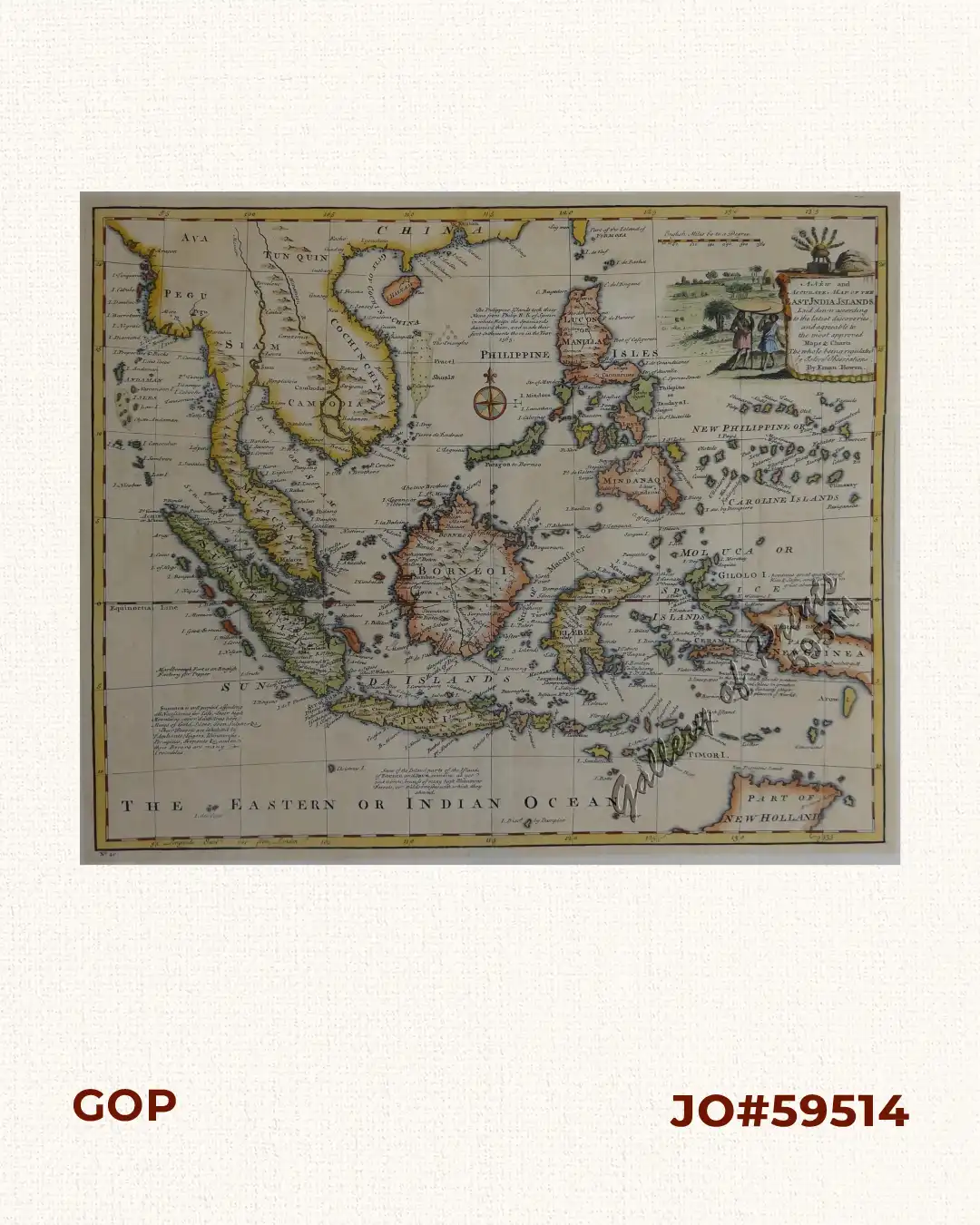
Description
hand-coloured copper engraving. Printed for William Innys, Richard Ware, Aaron Ward, J. And P. Knapton, John Clarke, T. Longman and T. Shewell, Thomas Osborne, Henry Whitridge… A strikingly beautiful map of the Philippines, Indonesia and Indochina, showing shoals, text inscriptions on various ocean areas, a sea rose and and elaborate cartouche.
![Islas de Infanta y Polillo pl. 12 [Quezon Prov., Polilio Is., Pananongan I., Jomalig I.]](https://galleryofprints.shop/wp-content/uploads/2023/08/JO62585-Algue-1900-Quezon-Province-Polilo-Jomalig-Patnanongan-scaled-1-600x750.webp)