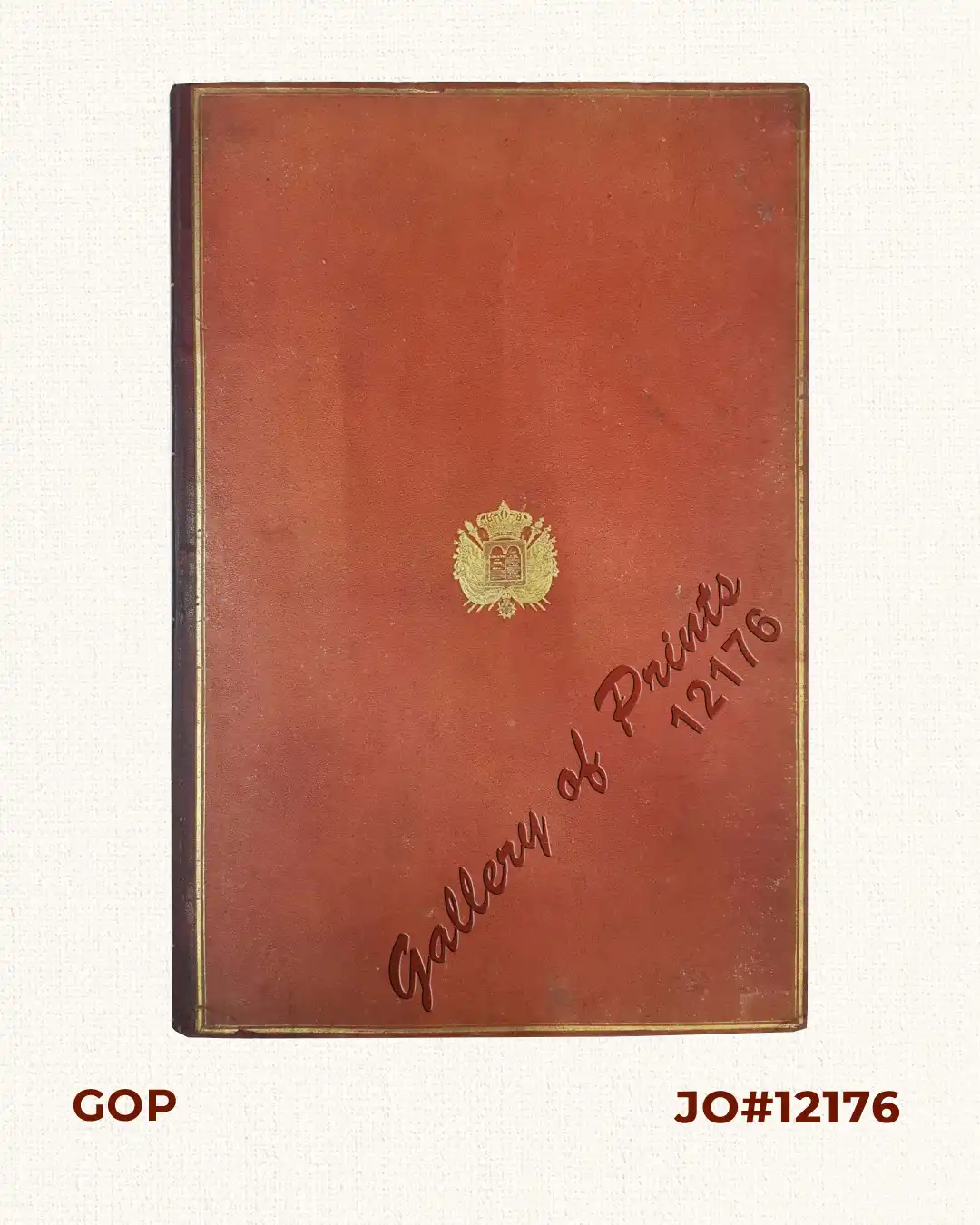
Description
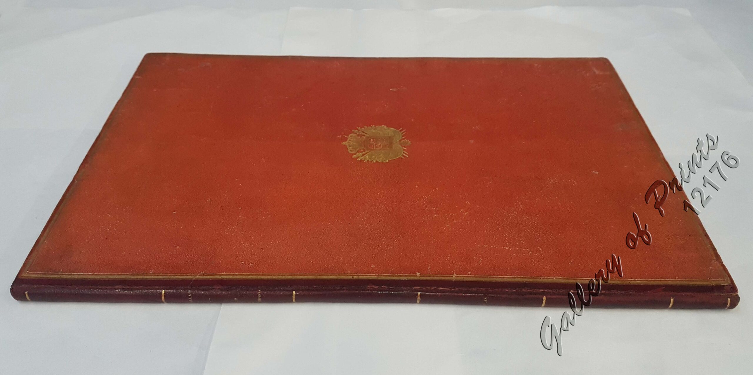
Contemporary red morocco-backed red cloth boards, covers with a gilt central armorial stamp of the national emblem of France featuring the arms of Louis-Philippe, marbled endpapers. Letterpress title and list of plates, plus 19 maps and plates (engraved folding map [original outline hand colour]; 10 hand coloured lithographed plates on 5 sheets, 6 engraved charts on 3 sheets, engraved plan of Manila and engraved plate of sheet music). Atlas volume only, without the 2 octavo volumes of text. EXTREMELY RARE
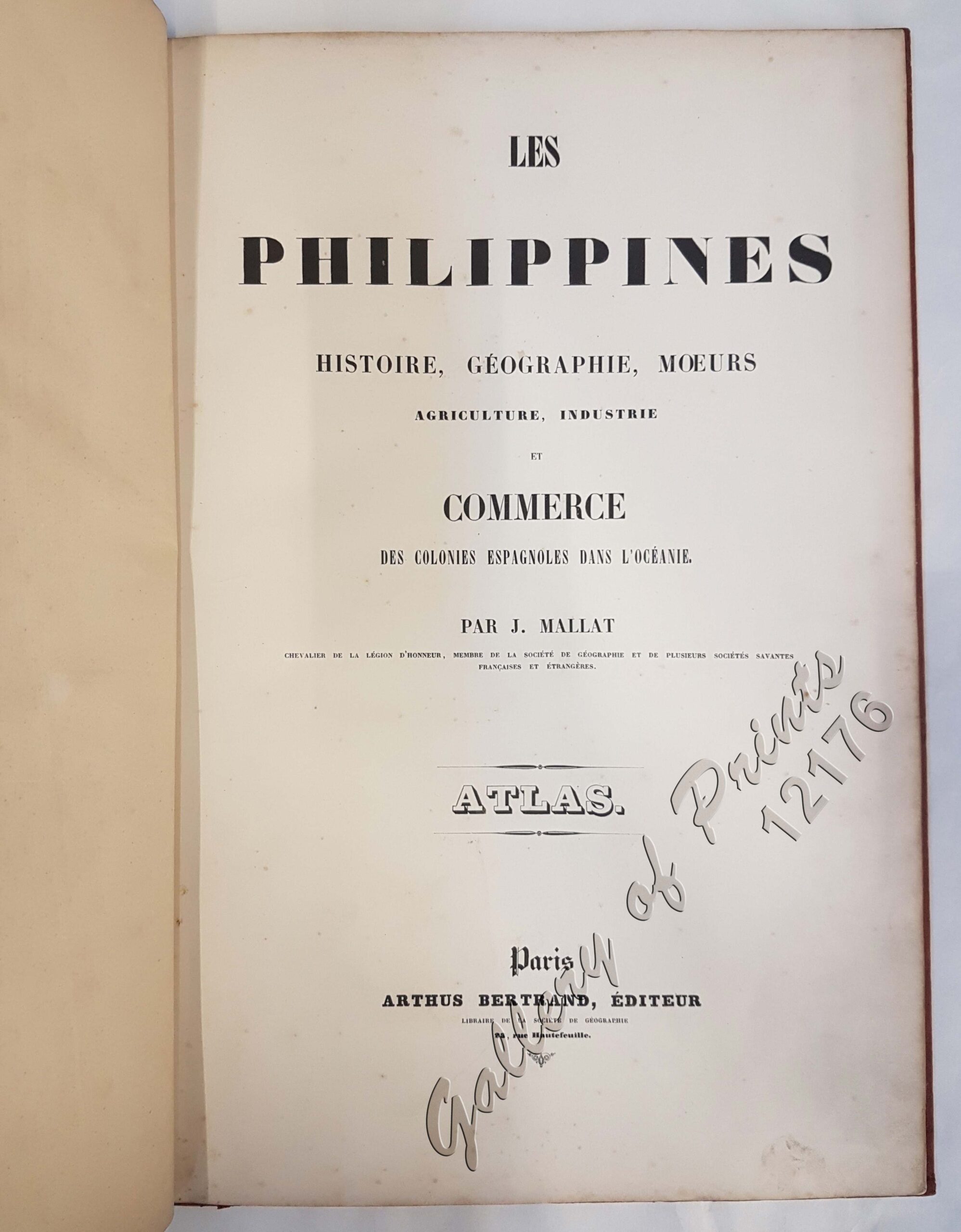
Only edition – published by Arthus Bertrand, editor of the Libraire de la Société de Géographie, Paris.
Atlas (& album) of maps and hand coloured plates to a prime 19th century work on the Philippines. Born in the Nouvelle-Aquitaine region of southwestern France, Jean Mallat (1806-1863), became a doctor in Barcelona, and was subsequently appointed a physician at San Juan de Dios Hospital in Manila by the Spanish government. He would make three visits to the Philippines between 1838 and the publication of the present work. In 1844, he was named the Agent for Colonial France for the Indo-China seas and took part in the French possession of Basilan Island. In recognition of his participation, the Emperor granted him the addition of this island’s name to his family name: Jean Mallat de Bassilan [sic]. The ethnographical/historical costume plates by Bayot, printed by Lemercier, are particularly fine. They consist of a single group portrait of Villabos, Legaspi and Magellan, 6 ethnographical portraits and three costume plates, all of the costume of the inhabitants of the Philippines. The maps include the large general map of the Philippines, followed by detailed maps and plans of various locations within the islands, ending with a plan of Manila, the sheet music is a Filipino song titled Comintang de la Conquista.
Price upon request