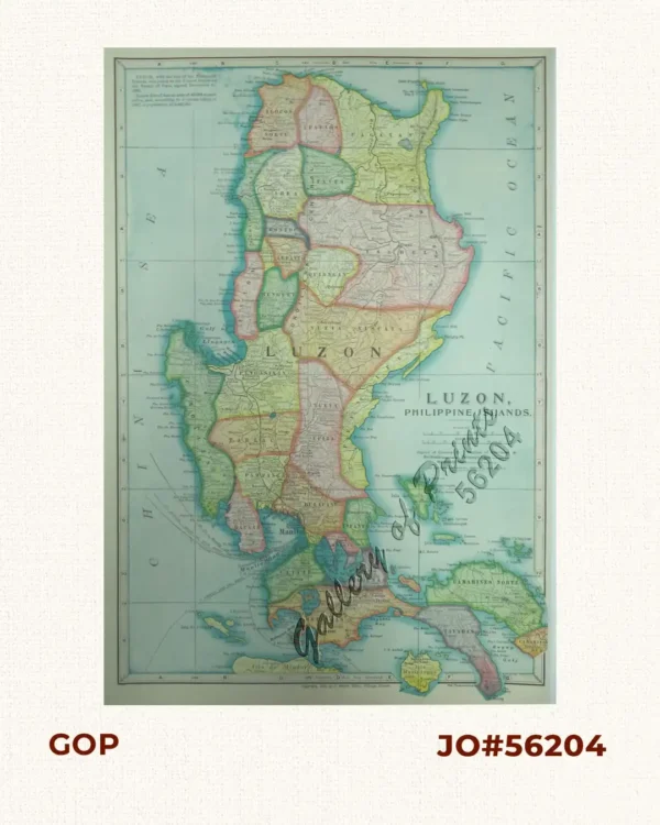
Description
hand-coloured steel engraving map from ‘A General Descriptive Atlas Of The Earth, Containing Separate Maps Of The Various Countries And States, From Original Drawings. With A Short Account Of Each Country, Descriptive Of Its Geographical Features, Chief Towns And Cities, Population, And General Statistics. By W.M. Higgins’. John Dower was a London based map maker, engraver and printer, the son and successor of John Crane Dower’s map business. Elected to the Royal Geographical Society in 1854.
![Isla de Luzon pl. 10, inset: Pto. de Banacalan [Marinduque] (Quezon [or Tayabas], Camarines Norte, Marinduque, Balegin [Balesin], Calbalete [Cagbalete]… )](https://galleryofprints.shop/wp-content/uploads/2023/08/JO64134-Algue-1900-Isla-de-Luzon-scaled-1-600x750.webp)