Description
hand-coloured copper engraving.
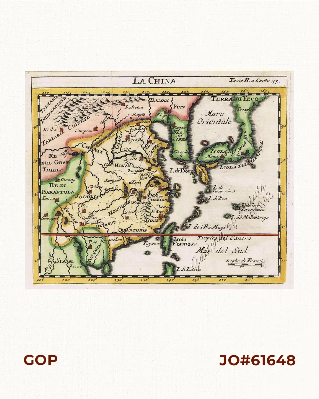
RARE map published in Venice; Tomo II.a Carte 33. This small Italian map of China, Korea and Japan is based on the cartography of Guillaume Delisle. Japan is shown attached to Ter di Yesso (Hokkaido). The map is of interest for the use of Sea of Japan / East Sea, the sea between Korea and Japan, here called “Mare Orientale”.
![Typus freti Manilensis detroit de Manilles [Straits of Manila]](https://galleryofprints.shop/wp-content/uploads/2015/05/JO54051-Renneville-1725-Philippines-Manila-Samar-Mindoro-Luzon-scaled-1-600x750.webp)