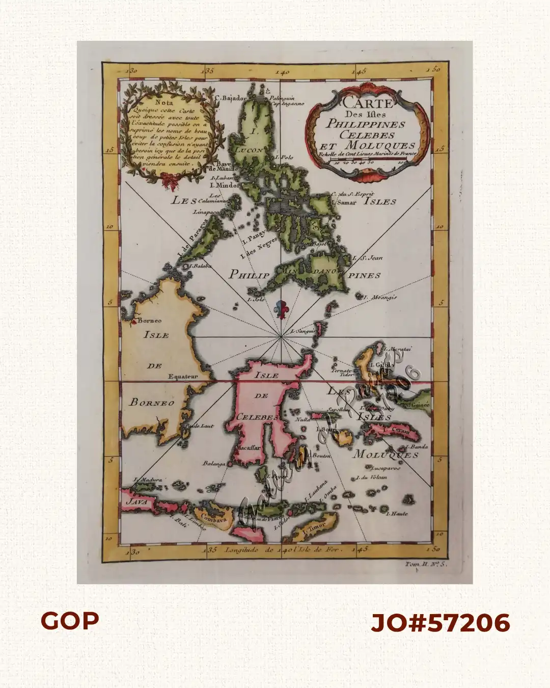
Description
hand-coloured copper engraving.
Map from ‘Histoire Generale des Voyages’; Tom. 2 no. 5. Fine and decorative copper engraved sea chart of the region showing the islands of the Philippines, Sulawesi, and the Moluccas with Timor, Flores, Bali, and parts of Borneo and Java. There is no interior detail. The chart is centered on a fleur-de-lis and is decorated with a nice title cartouche, Nicolas Bellin (1703-1772) was one of the most important and proficient French cartographers of the mid-eighteenth century. He was appointed the first Ingenieur Hydrographe de la Marine, and also Official Hydrographer to the French king. Bellin produced a substantial number of important separately issued maps, particularly reflecting continuing discoveries and political events in the Americas.