Description
hand-coloured copper engraving.
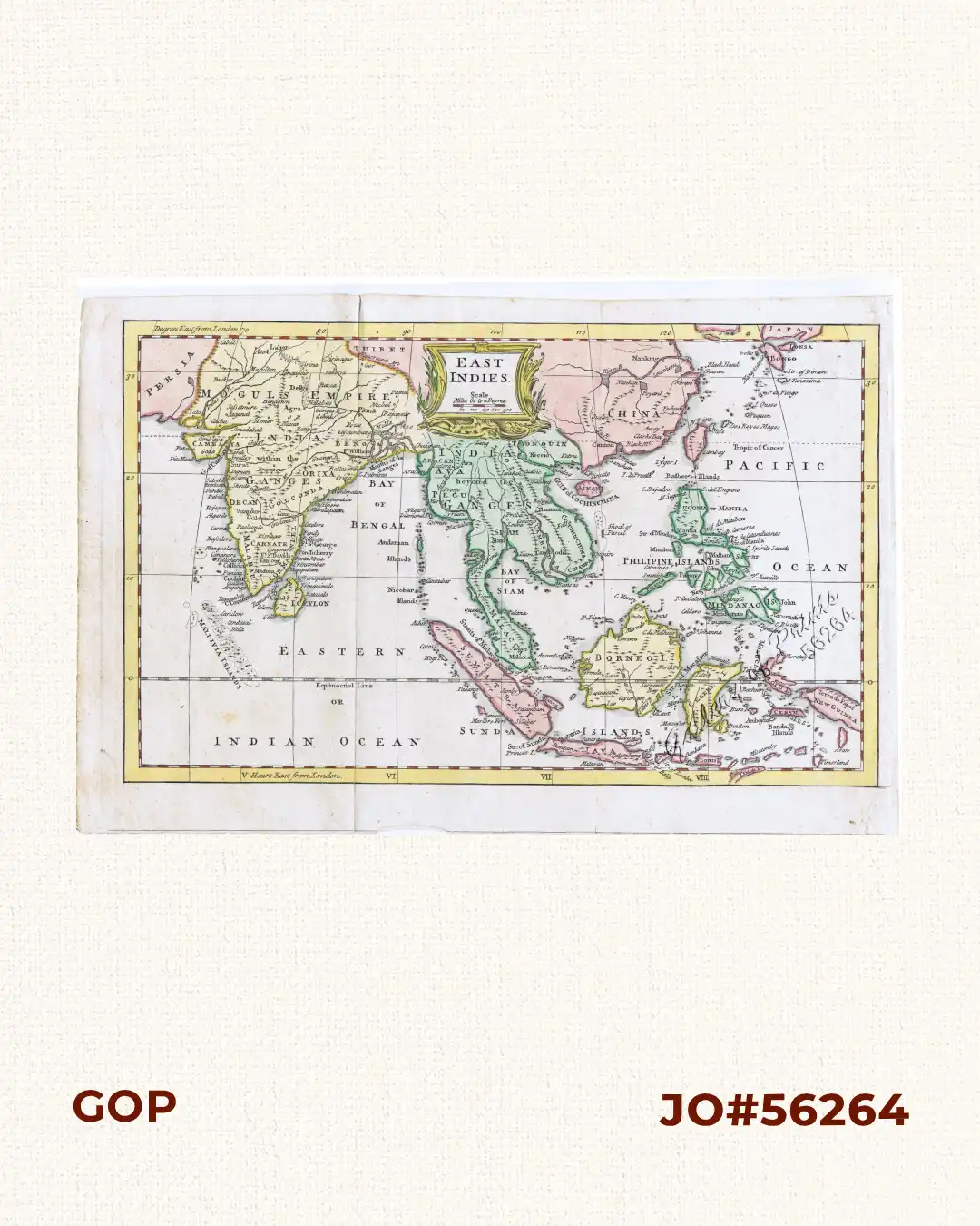
Map from ‘Salmon’s Geography’, Jefferys was an outstanding cartographer & publisher whose productions ranged from 1 inch to 1 mile county maps to some of the finest maps of the time of North America & the West Indies. These are regarded as his most important works, many of which were published after his death by Sayer & Bennett, or by his business successor, William Faden. He was appointed Geographer to the Prince of Wales & to George III, enjoyed a very high reputation but failed to obtain much material reward.
![Islas de Infanta y Polillo pl. 12 [Quezon Prov., Polilio Is., Pananongan I., Jomalig I.]](https://galleryofprints.shop/wp-content/uploads/2023/08/JO62585-Algue-1900-Quezon-Province-Polilo-Jomalig-Patnanongan-scaled-1-600x750.webp)