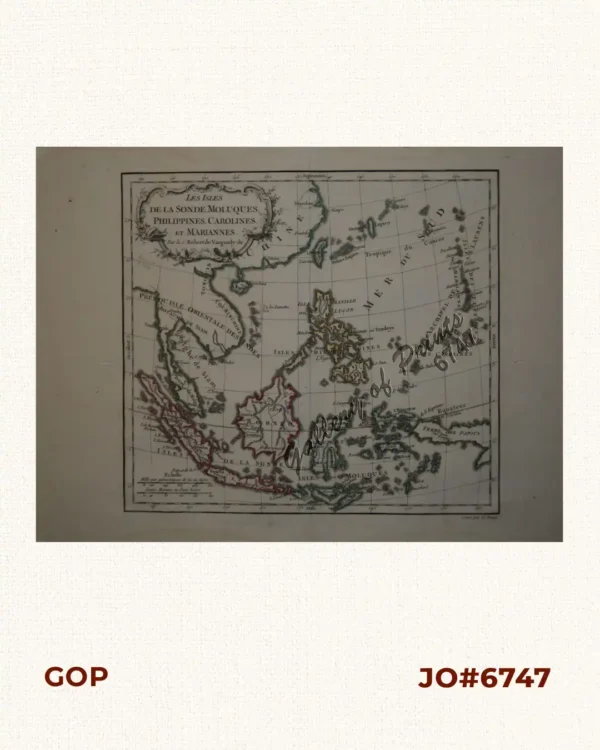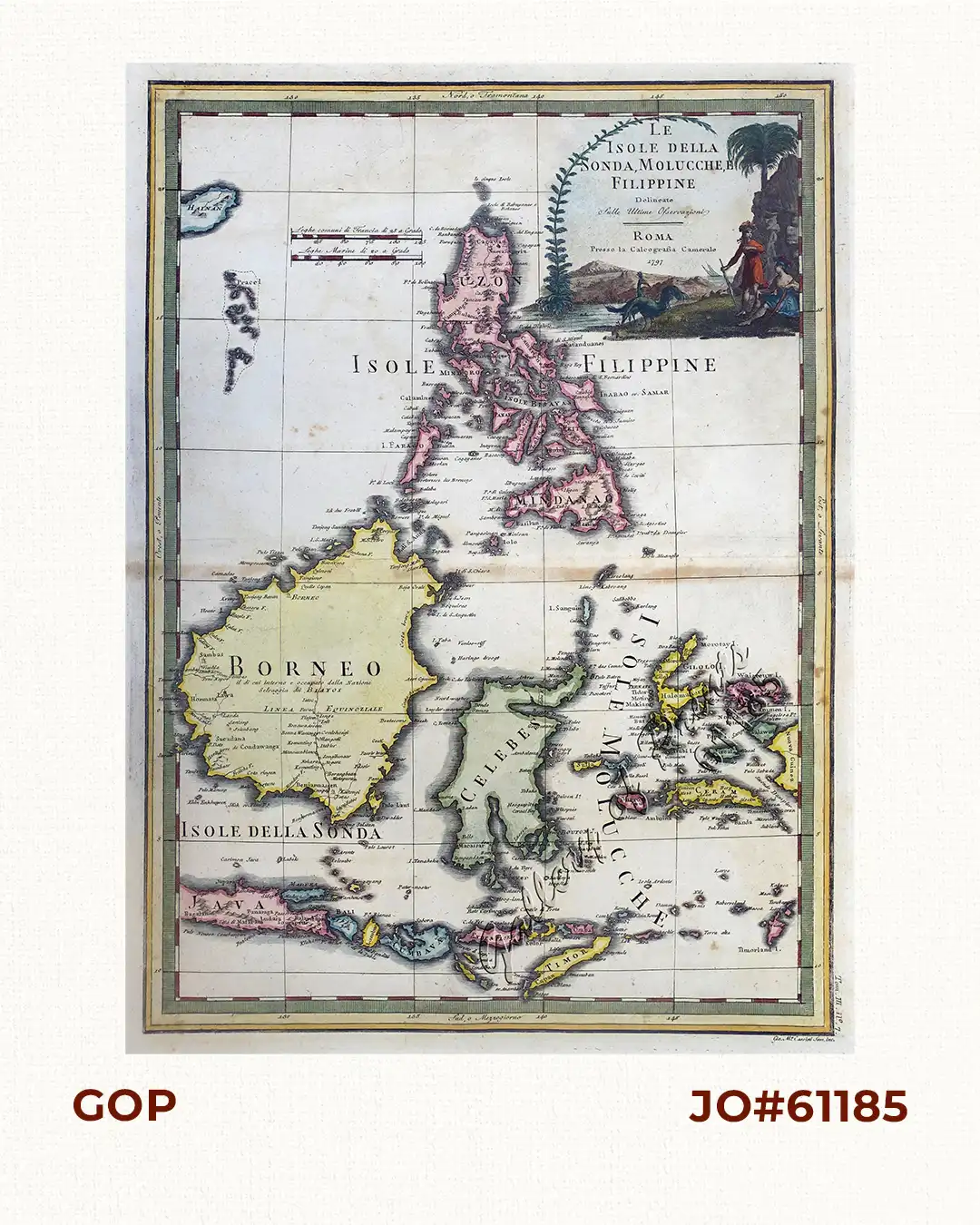
Description
hand-coloured copper engraving.
EXTREMELY RARE map of the Philippines [after Murillo Velarde] and the Indonesian Islands South of Mindanao, from ‘Nuovo atlante geografico universale…, tom. III, no. 7 (3 vols.).
A very attractive map with a decorative vignette, which became much rarer to find in larger format publications during this time. It no longer shows the non-existent island of San Juan, Northeast of Mindanao, so often depicted in late 18th Century maps of Southeast Asia.