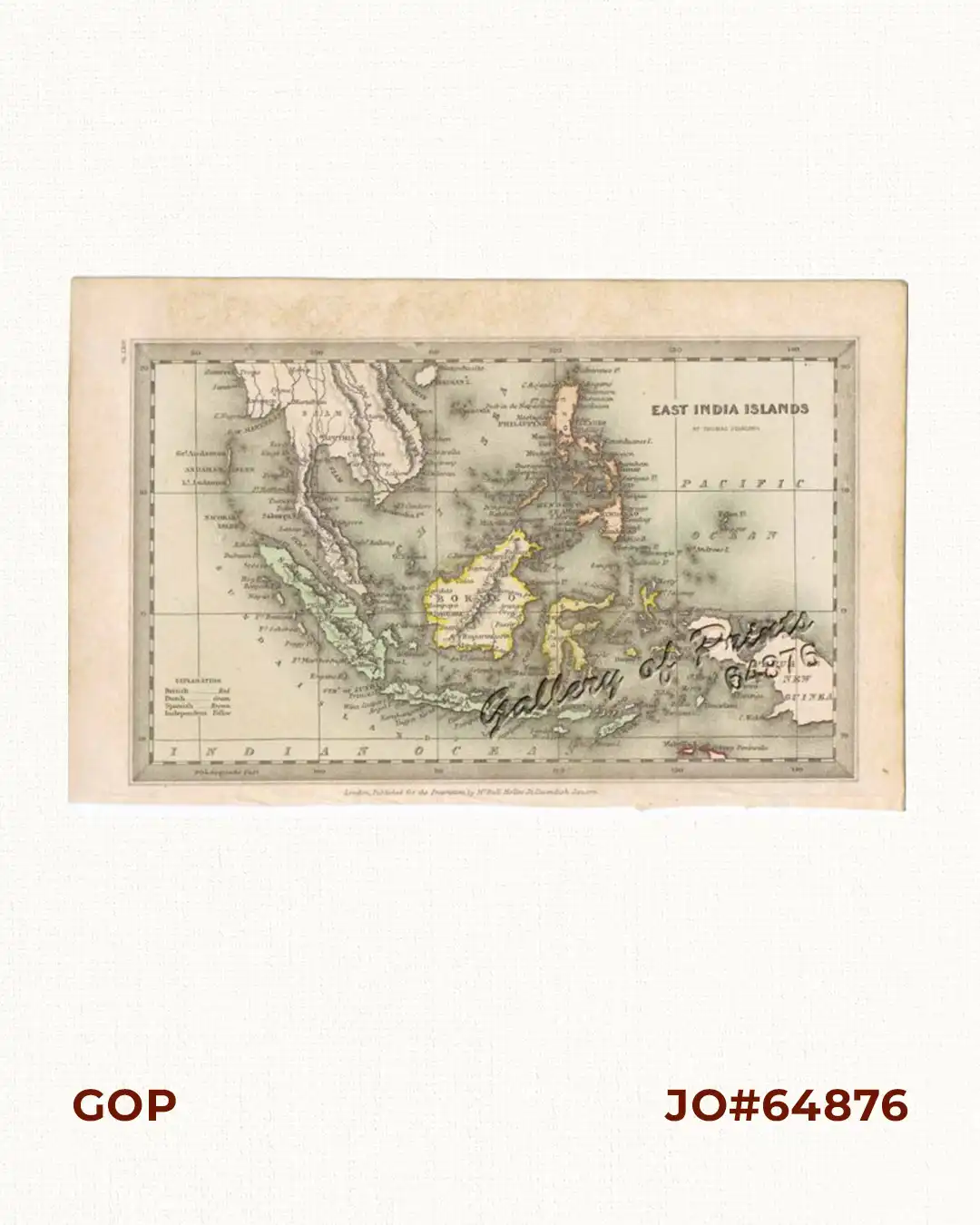
Description
hand-coloured steel engraving, RARE.
map from the atlas “Geographical Annual or Family Cabinet Atlas”, pl. LXIV (64);
published for the Proprietors, by Mr. Bull Holles, St. Cavendish Square, London.
Map shows British, Dutch and Spanish possessions in the East Indies, including the Philippines.
Thomas Starling (1796-1850) was an English draughtsman, engraver, map maker and publisher
based in London. He issued the small format ‘Family Cabinet Atlas’ to recover from bankruptcy,
and was later elected Fellow of the Royal Geographical Society.
![Isla de Luzon pl. 10, inset: Pto. de Banacalan [Marinduque] (Quezon [or Tayabas], Camarines Norte, Marinduque, Balegin [Balesin], Calbalete [Cagbalete]… )](https://galleryofprints.shop/wp-content/uploads/2023/08/JO64134-Algue-1900-Isla-de-Luzon-scaled-1-600x750.webp)
![Plan du Port de Subec, en I'Isle de Lucon [Plan of The Port of Subic on Luzon Island]](https://galleryofprints.shop/wp-content/uploads/2015/05/JO55439-de-Mannevillete-c1775-Plan-du-Port-de-Subec-600x750.webp)