Description
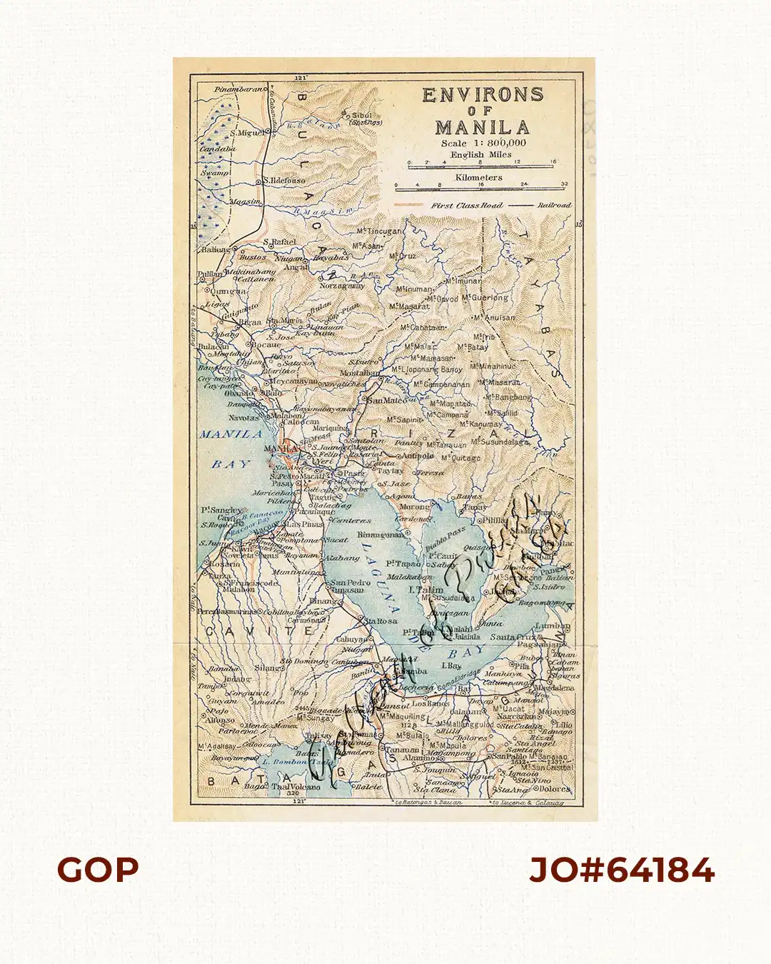
original-colour lithograph map from “An Official Guide to Eastern Asia, vol. 5 – East Indies”, Second edition. VERY RARE.
A detailed and attractive map of the areas within ca. 40km of Manila. Legend identifies “First class roads” and “railway”.
![Plan du Port de Subec, en I'Isle de Lucon [Plan of The Port of Subic on Luzon Island]](https://galleryofprints.shop/wp-content/uploads/2015/05/JO55439-de-Mannevillete-c1775-Plan-du-Port-de-Subec-600x750.webp)