Cartography [Maps]
Showing 649–657 of 680 results
-

The South Pacific Ocean showing the Surface Currents and Ice drifts.
₱13,200.00 -
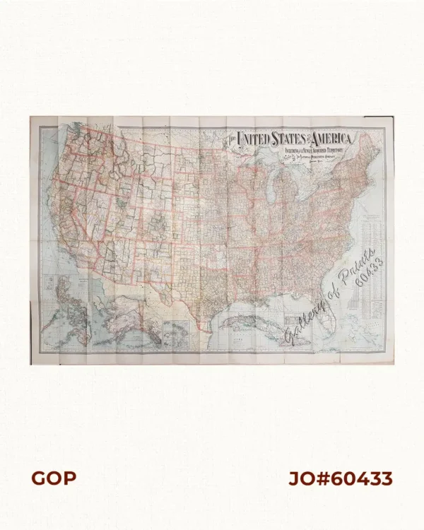
The United States of America Including all its Newly Acquired Territory
₱46,200.00 -
![The World [Western & Eastern Hemisphere]](https://galleryofprints.shop/wp-content/uploads/2020/04/JO56818-Holmes-1869-The-World-scaled-1-600x750.webp)
The World [Western & Eastern Hemisphere]
₱6,600.00 -
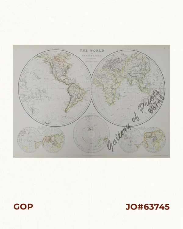
The World in Hemispheres and various Projections.
₱13,200.00 -
![To His Majesty George the Third, King of Great Britain & This Chart of Felicia and Plan of the Island Balambangan is humbly prefented by His Majesty's faithful Subject, Dalrymple - [Southern Palawan]](https://galleryofprints.shop/wp-content/uploads/2023/08/JO61174-Dalrymple-1770-Island-of-Balambangan-scaled-1-600x750.webp)
To His Majesty George the Third, King of Great Britain & This Chart of Felic...
₱26,400.00 -
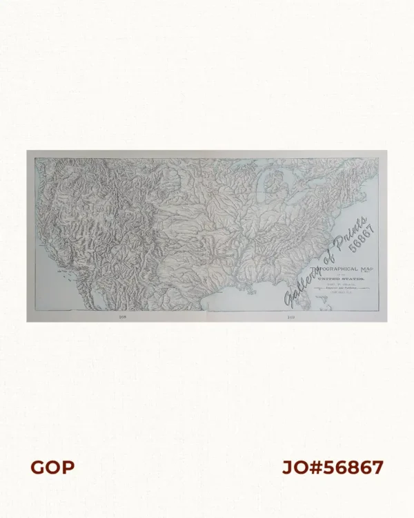
Topographical Map of the United States
₱6,600.00 -
![Topographische Skizze des Bezirks Escalante auf Isla de Negros (Philippinen In.) Aufgenommen von Don Enrique de Almonte [Topographical Sketch of Escalante Province On Negros Island...] [inset:] Die Philippinen Inseln.](https://galleryofprints.shop/wp-content/uploads/2023/08/JO59529-Petermann-1885-Topographische-Skizze-des-Bezirks-Escalante-auf-scaled-1-600x750.webp)
Topographische Skizze des Bezirks Escalante auf Isla de Negros (Philippinen In.)...
₱33,900.00 -
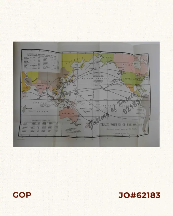
Trade Routes of the Orient