Cartography [Maps]
Showing 55–63 of 680 results
-
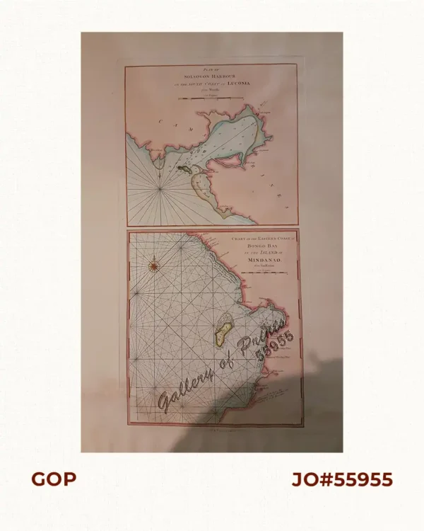
1) Plan of Solsogon Harbour on the South Coast of Luconia. 2) Chart on the Easte...
₱36,500.00 -
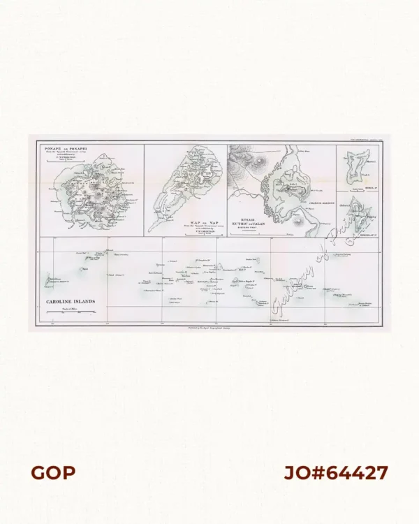
1) Ponape or Ponapei. 2) Wap or Yap. 3) Kusaie. Kuthiu or Ualan. 4) Mokil Is....
₱6,600.00 -
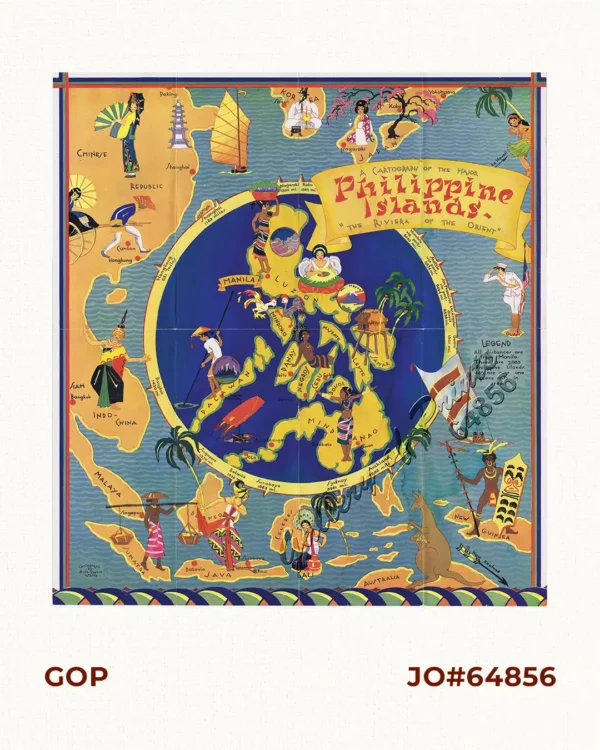
A Cartograph of the Major Philippine Islands. “The Riviera of the Orient&#...
₱16,700.00 -
![A Chart of the Channel in the Philipine Islands [sic] Through which the Manila Galeon passes, with a Map of Manila Island.](https://galleryofprints.shop/wp-content/uploads/2023/08/JO59923-Baldwin-1763-A-Chart-of-the-Channel-in-the-Philippine-Islands-600x750.webp)
A Chart of the Channel in the Philipine Islands [sic] Through which the Manila G...
₱26,400.00 -
![A Chart of the Channel in the Phillippine [sic] Islands through which the Manila Galleon Passes Together with the Adjacent Islands](https://galleryofprints.shop/wp-content/uploads/2017/10/JO61309c-Anson-1748-A-Chart-of-the-Channel-in-the-Philippine-Islands-pl-scaled-1-600x750.webp)
A Chart of the Channel in the Phillippine [sic] Islands through which the Manila...
₱39,600.00 -
![A Chart of the Channel in the Phillippine Islands [sic] through which the Manila Galleon Passes Together with the Adjacent Islands](https://galleryofprints.shop/wp-content/uploads/2019/11/JO60309c-Anson-1748-A-Chart-of-the-Channel-in-the-Philippine-Islands-pl-scaled-1-600x750.webp)
A Chart of the Channel in the Phillippine Islands [sic] through which the Manila...
₱44,000.00 -

A Chart of the China Sea, and Philippine Islands, with the Archipelagos of Felic...
₱780,000.00