Description
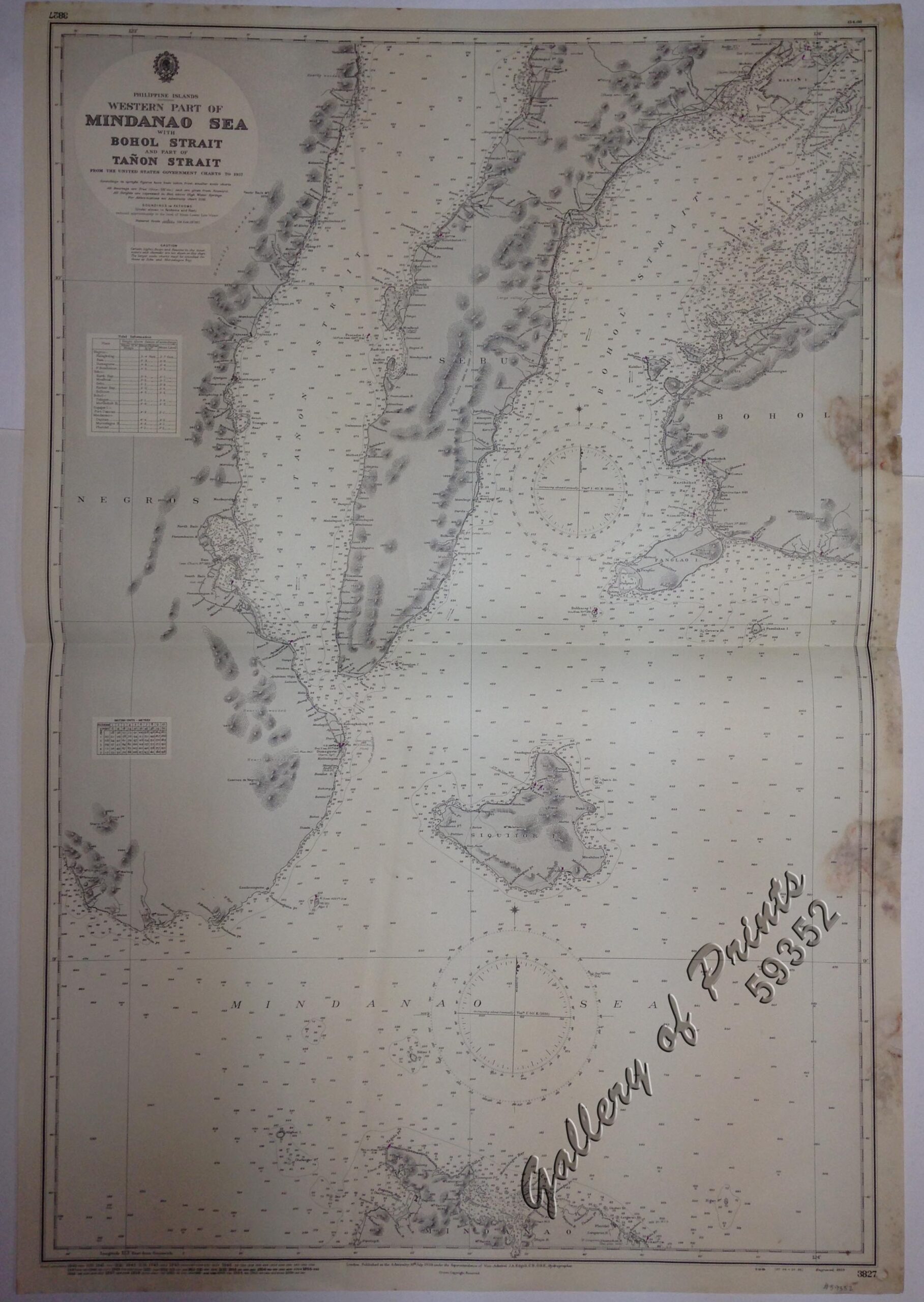
RARE LARGE ADMIRALTY lithograph. Map#3827. Small corrections 1940 [many subsequent years stated till] 1966 – Z.12-59. Seal of the Hydrographic Office – 2 Sea Roses with 360 degrees.
₱13,200.00
1 in stock
RARE LARGE ADMIRALTY lithograph. Map#3827. Small corrections 1940 [many subsequent years stated till] 1966 – Z.12-59. Seal of the Hydrographic Office – 2 Sea Roses with 360 degrees.
with fold as issued, with heavy foxing along margins affecting plate.