Description
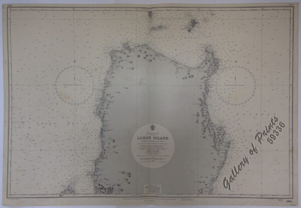
lithograph. Map#3824. Large corrections 21st Feb. 1964. Small corrections 1964..1966… Z.1-64. Seal of the Hydrographic Office – 2 Sea Roses with 360 degrees.

₱11,000.00
1 in stock
lithograph. Map#3824. Large corrections 21st Feb. 1964. Small corrections 1964..1966… Z.1-64. Seal of the Hydrographic Office – 2 Sea Roses with 360 degrees.
with folds as issued.