Description
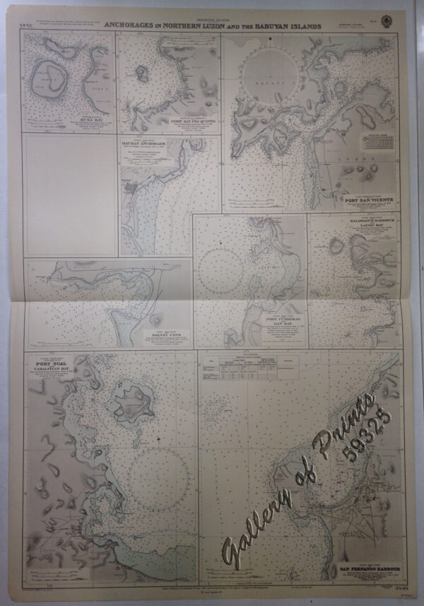
lithograph. Map#3805. New editions 15th Sept. 1939. Large corrections 24rd August 1963. Small corrections …1963, …1964,…1965…, Enamel 1963 – Z.8-63. Seal of the Hydrographic Office – Sea Roses with 360 degrees in upper left and right on top of the title.