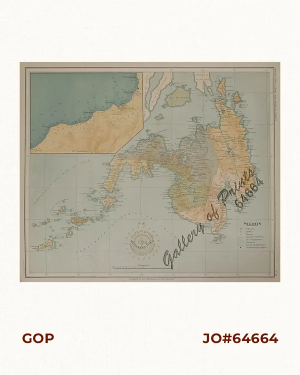
![Reduzirte Karte von den Philippinen und den Sulu Inseln [Reduced Map of the Philippines and the Sulu Islands] {insets:}. inset 1: Plan von der Bucht von Manila [Plan of Manila Bay]. inset 2: Islas Batanes. inset 3: Die Nordseite des Mindoro Kan. mit dem Volcan de Taal [Northern Mindoro Channel with Taal Volcano]. inset 4: Sulu-Gebiet an der NW-Küste von Borneo [Sulu-Area near the NW-Coast of Borneo]. inset 5: Südlicher Theil der Sûlûschen Borneo-Küste [Southern Sulu near Borneo Coast]. inset 6: Plan von der Bongobucht [Plan of Bongo Bay].](https://galleryofprints.shop/wp-content/uploads/2024/08/JO64555-Berghaus-1832-Reduzirte-Karte-von-den-Philippinen-und-den-Sulu-Inseln-scaled-1.webp)
Description
original hand-outline colour lithograph, mounted and sectionalised on the original linen in 20 sections with 6 inset maps + 14 inset profile views, EXTREMELY RARE.
Important map from Berghaus ‘Atlas von Asia’, pl. 13 – only 15 plates of 19 were accomplished. The famous unfinished atlas, published by Justus Perthes in Gotha. Only 623 pieces of this sheet #13 were published; and only 1500 copies printed of the memoir description. One of the rarest – if not THE RAREST – 19th Century maps of the Philippines. It is the first large-scale map to comprehensively incorporate both the Malaspina hydrography and Ildefonso de Aragón seminal geographical surveys. This particular sectionalised version is even rarer than the “regular” one – thus an extra-ordinary collector’s pride.