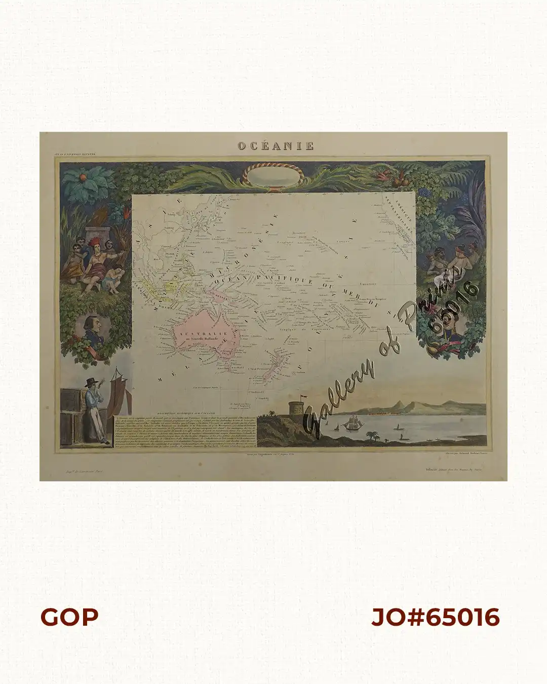
Description
original hand-colour steel engraving, enhanced hand-coloured vignettes, map from Victor Levasseur’s ‘Atlas Universel Illustre..’
A very decorative 19th century map of the Pacific Ocean indicating the extent of the Philippines West of Polynesia and Micronesia, as part of Melanesia, and Malaysia (or Southeast Asia). The map is surrounded by portraits, animals, vegetation, etc..