![Map of Japan, China, and the Philippine Islands showing the Route and Ports of Call of the Great Northern Steamships Minnesota and Dakota. [insets: ] 1) Kobe and Environs. 2) Yokohama and Environs. 3) Shanghai and Environs. 4) Hong Kong, Canton and Environs. 5) Vicinity of Manila.](https://galleryofprints.shop/wp-content/uploads/2025/12/JO64976-McNally-c1930-Map-of-Japan-China-and-the-Philippine-Islands-scaled-1.webp)
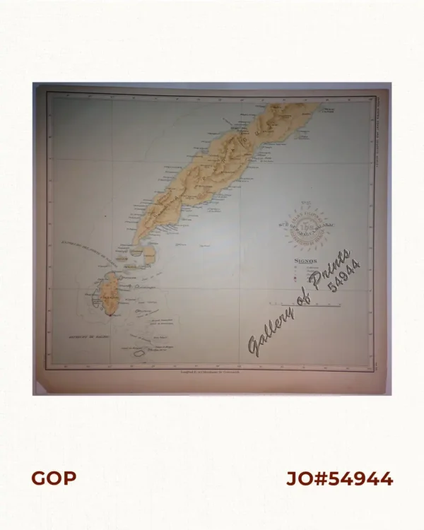
Description
original-colour lithograph map. EXTREMELY RARE.
Single sheet folded into 2 sections printed in colour with key maps of their ports of call: Kobe, Yokohama, Shanghai and Environs, Hong Kong, Canton and Manila. Text and images on verso cover various Japanese ports and nearby towns and areas of touristic interest – part of a publication that was probably ordered by the Shipping Line as a promotional booklet.
Map shows the routes for the Great Northern Steamship Company’s twin vessels Minnesota and Dakota through East Asia (Japan, China, Philippines). The Dakota left port for her maiden voyage on April 28, 1905 and sank in Japanese waters on March 3, 1907. Its story – while not as spectacular and not suffering from such huge death toll as that of the Titanic – is nevertheless a virtually unknown maritime disaster of epic proportions afflicting the then fastest American vessel on the oceans, and for similar reasons: OVERCONFIDENCE. In 1856, William H. Rand started a printing shop in Chicago and after 2 years, hired Andrew McNally. In 1859, as a result of their expanding business with the forerunner of the Chicago Tribune, Rand and McNally were hired to run the Tribune’s entire printing operation. In 1868, both men and Rand’s nephew George Amos Poole, established Rand McNally & Co. and bought the Tribune’s printing business. The company exists still today.
![Islas de Infanta y Polillo pl. 12 [Quezon Prov., Polilio Is., Pananongan I., Jomalig I.]](https://galleryofprints.shop/wp-content/uploads/2023/08/JO62585-Algue-1900-Quezon-Province-Polilo-Jomalig-Patnanongan-scaled-1-600x750.webp)
![Plan du Port de Subec, en I'Isle de Lucon [Plan of The Port of Subic on Luzon Island]](https://galleryofprints.shop/wp-content/uploads/2015/05/JO55439-de-Mannevillete-c1775-Plan-du-Port-de-Subec-600x750.webp)