Description
copper engraving.
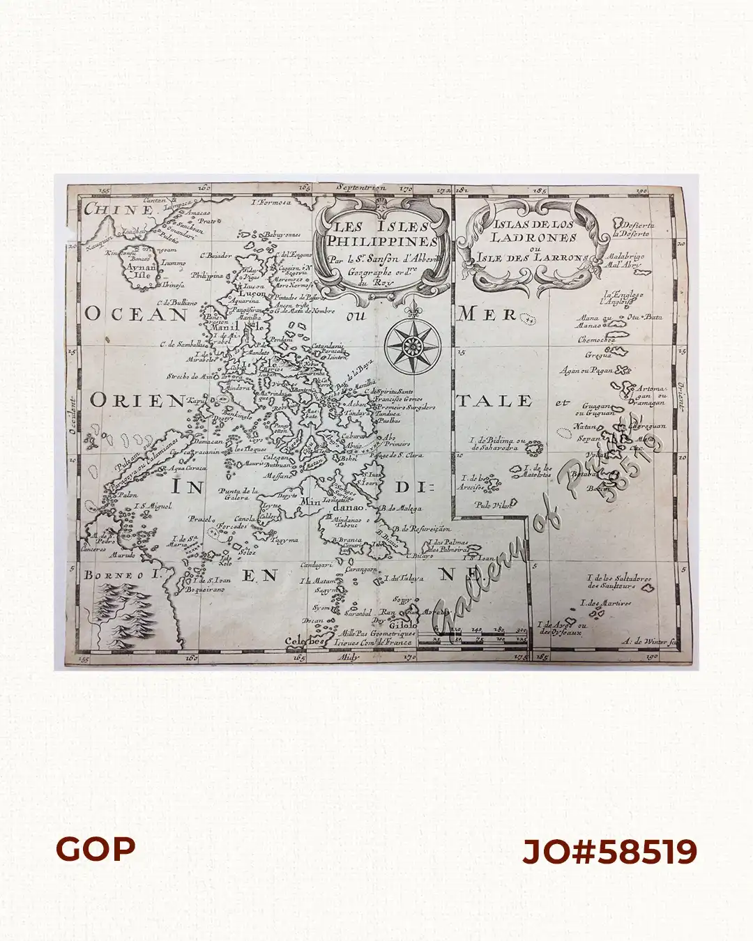
Map from ‘ L’Europe (l’Asie, l’Afrique, l’Amerique…’; The atlas existed both separately by continent and as a composite atlas with 4 continents. It proved popular. and the maps were imitated by Johann Zunner in Frankfurt (1679) and by Joannes Ribbius and Francois Halma (1682-1730s).
![Plan des principaux ports de la côte d'Illocos … [Map of the Principal Ports of the Ilocos Coast]](https://galleryofprints.shop/wp-content/uploads/2024/07/JO62314c-Mannevillette-1775-Plan-des-principaux-ports-scaled-1-600x750.webp)