![Isla de Paragua o Palawan Norte pl. 24 [ Northern Palawan with inset – Bahia de Puerto Princesa]](https://galleryofprints.shop/wp-content/uploads/2023/08/JO64128-Algue-1899-Isla-de-Paragua-o-Palawan-Norte-scaled-1.webp)
Description
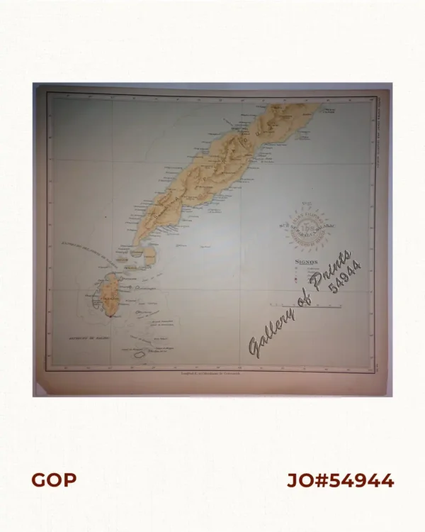
original colour lithograph.
Map from ‘Atlas de Filipinas’. Considered ‘as the most complete and accurate survey of the archipelago made up to that time. Father Algue was the director of the Manila Observatory at the time. The technical work on the atlas was executed wholly by Filipino draftsmen. (acknowledged in the introduction).
![Plan du Port de Subec, en I'Isle de Lucon [Plan of The Port of Subic on Luzon Island]](https://galleryofprints.shop/wp-content/uploads/2015/05/JO55439-de-Mannevillete-c1775-Plan-du-Port-de-Subec-600x750.webp)