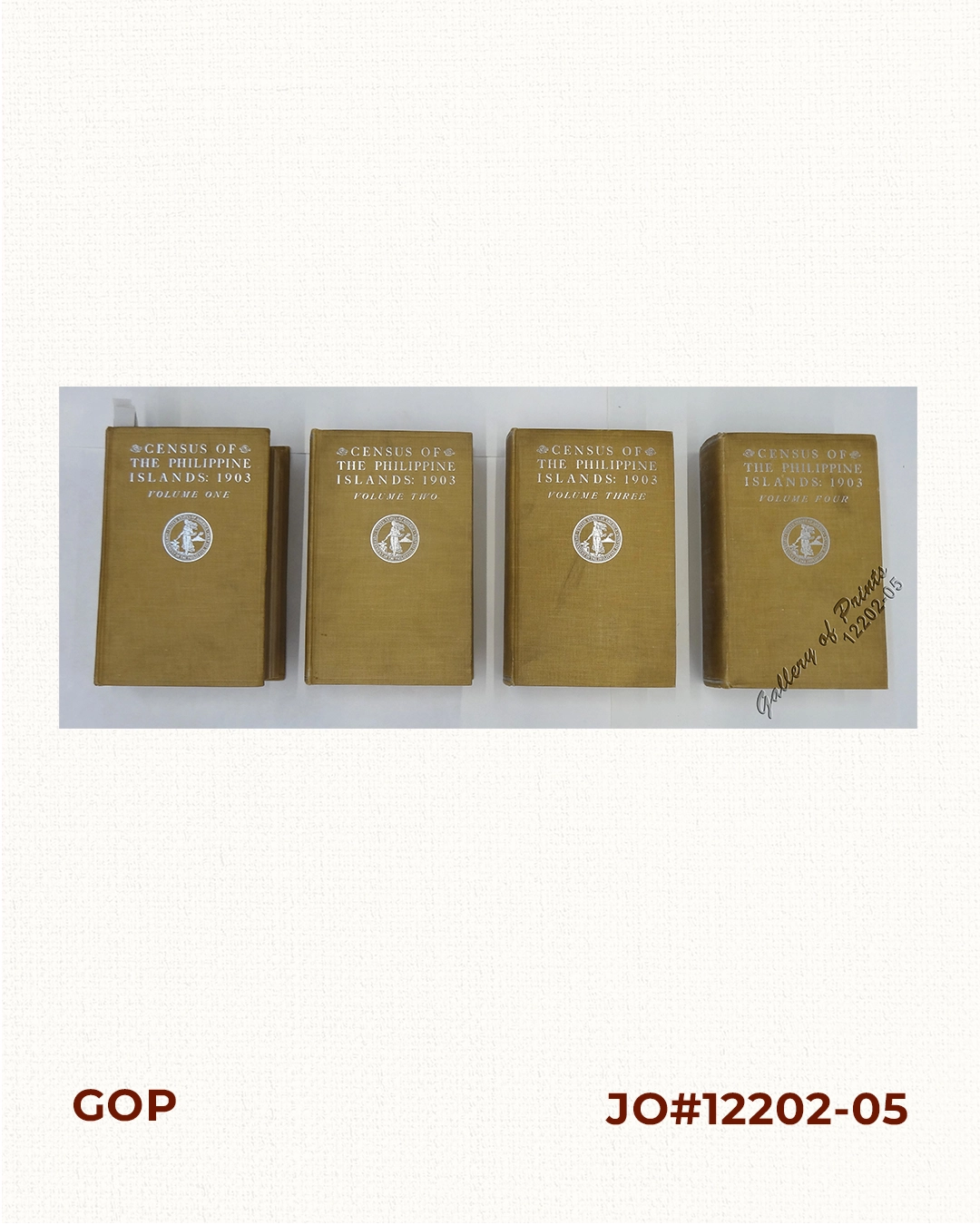
Description
hardbound, pp. 1-619 (vol. 1), pp. 1-1048 (vol. 2), pp. 1-740 (vol. 3), pp. 1-637 (vol. 4), cover with cloth, gilt title on front cover and spine; with many maps & illustrations.
First edition, four volumes. With 1 large folded map in back pocket of vol. 1 “Map of the Philippines. Prepared By Reduction From the Map of the Bureau of Insular Affairs, War Department. Relief Compiled from Maps of the Corps of Engineers, US Army, And from Spanish Surveys”, that shows the territorial line as per Paris Treaty.
![España, sus monumentos y artes, su naturaleza e historia. Cuba, Puerto Rico y Filipinas. [Spain: its monuments and arts, its nature and history. Cuba, Puerto Rico and the Philippines]](https://galleryofprints.shop/wp-content/uploads/2017/08/JO12130-Romera-Waldo-Jimenez-scaled-1-600x750.webp)
![Fluss - und Völker- Karte des Mittleren Gebietes der Insel Mindanao, [Map of Rivers & Tribes in Central Mindanao].](https://galleryofprints.shop/wp-content/uploads/2023/08/JO63350-Petermann-1891-Karte-des-Mittleren-Gebietes-der-Insel-Mindanao-600x750.webp)