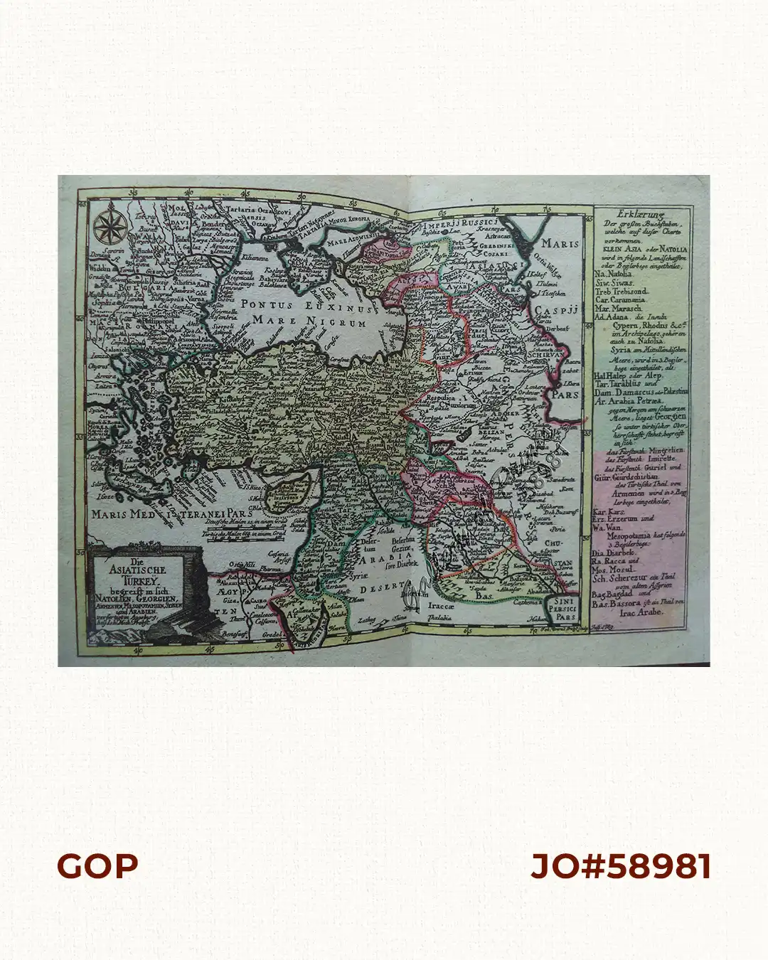
Description
RARE original hand-colour copper engraving, double-page chart map of Turkey bordered by the Black Sea, Syria and Sinai Peninsula, with a small cartouche of a wall and a pillar, and an explanatory text and directory on the right of the map, a small compass rose on the left, from the “Atlas Minor ex Tabulis Geographicis” [without plate no.]. Map engraved in July 1789 as shown in lower right.”.
![Les Isles Philippines, celle de Formose, le Sud de la Chine, les Royaumes de Tunkin, de Cochinchine, de Camboge, de Siam, des Laos… inset: 1) Isle de Guam. 2) [Isles Marianes]](https://galleryofprints.shop/wp-content/uploads/2015/06/JO61653-Bonne-1778-Les-Isles-Philippines-scaled-1-600x750.webp)