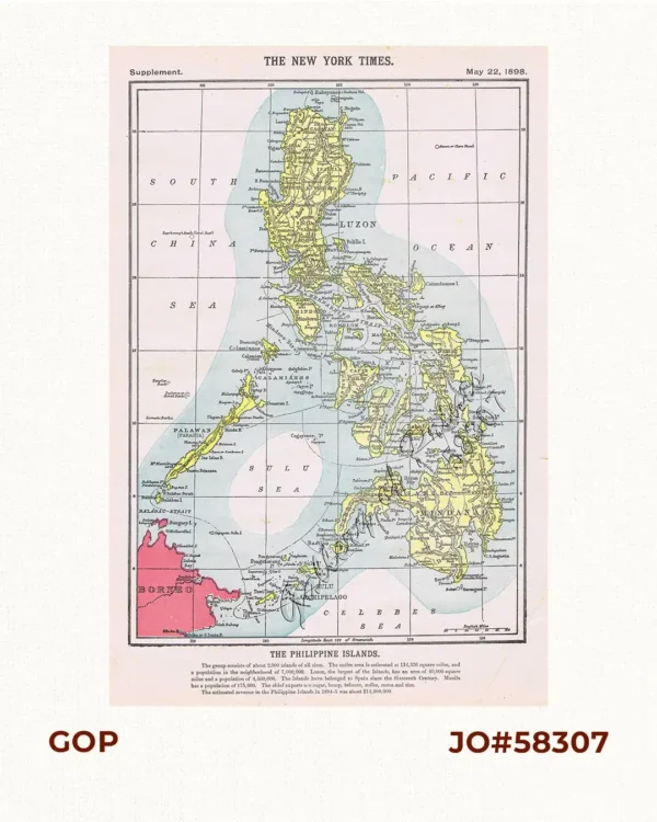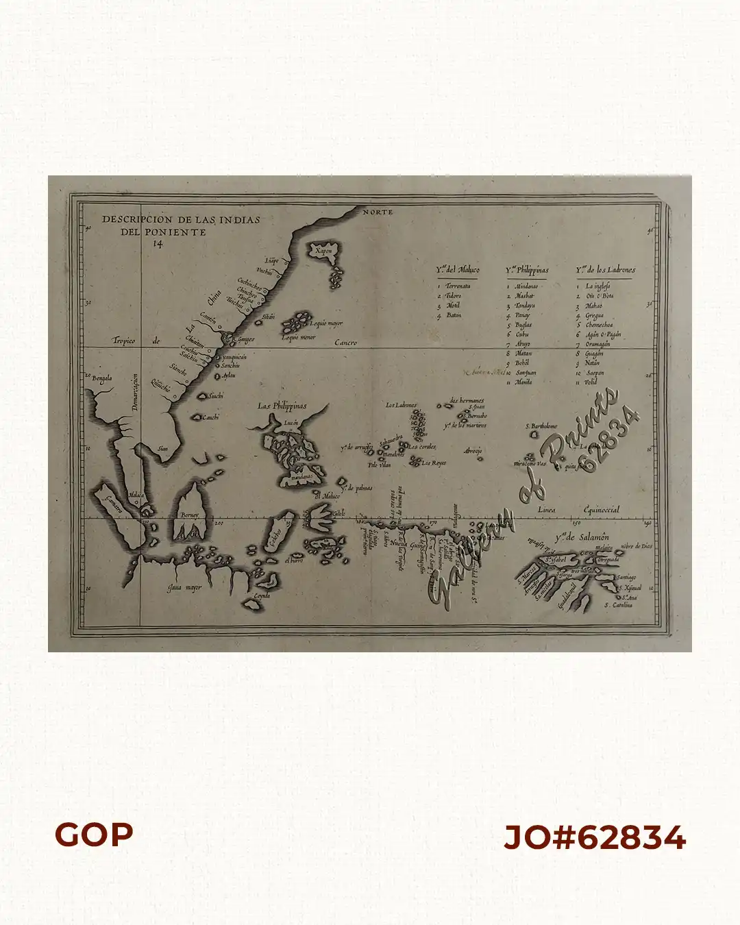
Description
copper engraving.
EXTREMELY RARE map from “Descripcion de las Islas occidentales, Historia General, da. 314, Second Edition. The first edition published in 1601 in Madrid; Herrera (1559-1625), a writer & official historian to the King of Spain, compiled a history of the Indies accompanied by maps of the West Indies & Central & South America. The first edition was re-issued in several editions & languages, the most important of which were in 1622. On this map, Luzon is not shown as an island, only as an outline; other Philippine islands are named, including his own “creation” : San Juan (St. John), the imaginary island to become so “notorious” in future maps till even the 19th century.