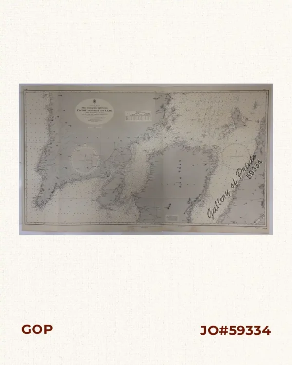
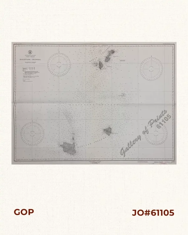
Description
lithograph. Map#3193. New editions 29th Jan. 1915, 27th Aug. 1923, 19th Nov. 1926, 5th Sept. 1947. Large corrections 27th August 1954. Small corrections 1954 [many subsequent years stated till] 1963 – Z. 3-59. Seal of the Hydrographic Office – 3 Sea Roses with 360 degrees. RARE.

![I. Colocasia [gabi], II. Pseudocolocynthis pyri forma III. Cucurbita Arantij forma. [squash]](https://galleryofprints.shop/wp-content/uploads/2019/04/JO54866-Besler-1613-Plant-Veggie-600x750.webp)